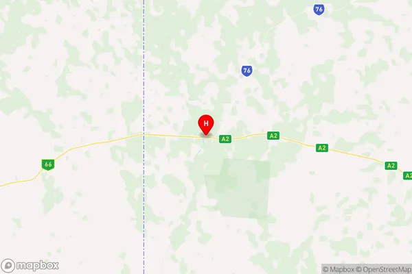
Mount Isa Region Suburbs & Region, Mount Isa Region Map & Postcodes
Mount Isa Region Suburbs & Region, Mount Isa Region Map & Postcodes in Mount Isa Region, Barkly, Northern Territory Outback, QLD, AU
Mount Isa Region Region
Region Name
Mount Isa Region (QLD, AU)Mount Isa Region Area
84052 square kilometers (84,052 ㎢)Postal Codes
4824, 4825, and 4828 (In total, there are 3 postcodes in Mount Isa Region.)Mount Isa Region Introduction
The Mount Isa Region is a remote and sparsely populated area in the Northern Territory Outback of Queensland, Australia. It is known for its rich mining history and is home to the world's largest underground copper and gold mine, the Mount Isa Mine. The region is also home to the Kalkadoon and Gurrindji peoples, who have traditional lands and cultures in the area. The Mount Isa Region is a popular destination for tourists, who can explore the mine and the surrounding wilderness. The region has a dry and hot climate, with hot summers and cold winters.Australia State
City or Big Region
Greater Capital City
Rest of Qld (3RQLD)District or Regional Area
Suburb Name
Mount Isa Region Region Map

Mount Isa Region Postcodes / Zip Codes
Mount Isa Region Suburbs
Mount Isa Region full address
Mount Isa Region, Barkly, Northern Territory Outback, Queensland, QLD, Australia, SaCode: 315021406Country
Mount Isa Region, Barkly, Northern Territory Outback, Queensland, QLD, Australia, SaCode: 315021406
Mount Isa Region Suburbs & Region, Mount Isa Region Map & Postcodes has 0 areas or regions above, and there are 17 Mount Isa Region suburbs below. The sa2code for the Mount Isa Region region is 315021406. Its latitude and longitude coordinates are -19.9207,138.121. Mount Isa Region area belongs to Australia's greater capital city Rest of Qld.
Mount Isa Region Suburbs & Localities
1. Cloncurry
2. Devoncourt Station
3. Four Ways
4. Barkly
5. Brunette Downs
6. Osborne Mine
7. Camooweal
8. Kuridala
9. Three Rivers
10. The Monument
11. Selwyn
12. Mary Kathleen
13. Alroy
14. Bushy Park
15. Dajarra
16. Duchess
17. Gunpowder
