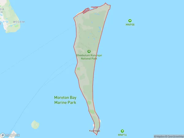
Moreton Island Suburbs & Region, Moreton Island Map & Postcodes
Moreton Island Suburbs & Region, Moreton Island Map & Postcodes in Moreton Island, Redcliffe, Moreton Bay North, QLD, AU
Moreton Island Region
Region Name
Moreton Island (QLD, AU)Moreton Island Area
175.32 square kilometers (175.32 ㎢)Moreton Island Introduction
Moreton Island is a large sand island located in Moreton Bay, North Queensland, Australia. It is known for its beautiful beaches, clear waters, and diverse marine life. The island is a popular destination for tourists and locals alike, with activities such as snorkeling, diving, sailing, and fishing. There are also several national parks and nature reserves on the island, including the Moreton Island National Park and the Tangalooma Wrecks. The island has a rich history and was once home to the Kabi Kabi people, who have left behind many cultural artifacts and sites.Australia State
City or Big Region
Greater Capital City
Greater Brisbane (3GBRI)District or Regional Area
Suburb Name
Moreton Island Suburbs
Moreton Island full address
Moreton Island, Redcliffe, Moreton Bay North, Queensland, QLD, Australia, SaCode: 313051574Country
Moreton Island, Redcliffe, Moreton Bay North, Queensland, QLD, Australia, SaCode: 313051574
Moreton Island Suburbs & Region, Moreton Island Map & Postcodes has 0 areas or regions above, and there are 0 Moreton Island suburbs below. The sa2code for the Moreton Island region is 313051574. Moreton Island area belongs to Australia's greater capital city Greater Brisbane.
