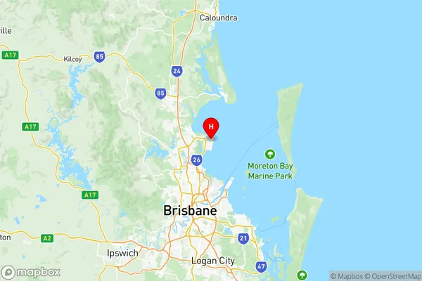
Redcliffe Suburbs & Region, Redcliffe Map & Postcodes
Redcliffe Suburbs & Region, Redcliffe Map & Postcodes in Redcliffe, Moreton Bay North, QLD, AU
Redcliffe Region
Region Name
Redcliffe (QLD, AU)Redcliffe Area
213.59 square kilometers (213.59 ㎢)Postal Codes
from 4020 to 4022 (In total, there are 3 postcodes in Redcliffe.)Redcliffe Introduction
Redcliffe is a suburb in the Moreton Bay Region, Queensland, Australia. It is located 18 kilometers north of Brisbane's central business district and is part of the City of Redcliffe. The suburb has a population of around 21,000 people and is known for its beautiful beaches, parks, and recreational facilities. It is also home to the Redcliffe Peninsula State School and the Redcliffe Hospital. The area was first settled in the 1860s and was named after the Redcliffe Peninsula, which forms its western boundary. The suburb has a rich history and was once a major port for the timber and sugar industries. Today, it is a popular residential area with a mix of modern apartments and houses.Australia State
City or Big Region
District or Regional Area
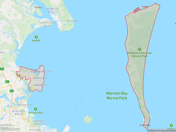
Redcliffe Region Map

Redcliffe Postcodes / Zip Codes
Redcliffe Suburbs
Rothwell Kippa-Ring
Moreton Island
Scarborough Newport
Redcliffe full address
Redcliffe, Moreton Bay North, Queensland, QLD, Australia, SaCode: 31305Country
Redcliffe, Moreton Bay North, Queensland, QLD, Australia, SaCode: 31305
Redcliffe Suburbs & Region, Redcliffe Map & Postcodes has 4 areas or regions above, and there are 6 Redcliffe suburbs below. The sa3code for the Redcliffe region is 31305. Its latitude and longitude coordinates are -27.2258,153.106.
Redcliffe Suburbs & Localities
1. Redcliffe North
2. Scarborough
4. Rothwell
5. Redcliffe
6. Kippa Ring
