Browns Plains Suburbs & Region, Browns Plains Map & Postcodes
Browns Plains Suburbs & Region, Browns Plains Map & Postcodes in Browns Plains, Logan Beaudesert, QLD, AU
Browns Plains Region
Region Name
Browns Plains (QLD, AU)Browns Plains Area
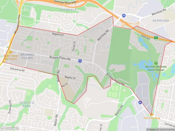
7.33 square kilometers (7.33 ㎢)Browns Plains Suburb Area Map (Polygon)
Browns Plains Introduction
Browns Plains is a locality in the Logan City Region, Queensland, Australia. It is one of the major gateways to the Gold Coast from the Brisbane Valley. Browns Plains is located 26 kilometers south of the Brisbane CBD and 46 kilometers north of the Gold Coast. The locality has a population of around 10,000 people and is home to a number of major retailers, including a Coles supermarket and a Kmart. The area is also home to a number of parks and recreational facilities, including a cricket club, a golf course, and a swimming pool.Australia State
City or Big Region
Greater Capital City
Greater Brisbane (3GBRI)District or Regional Area
Suburb Name
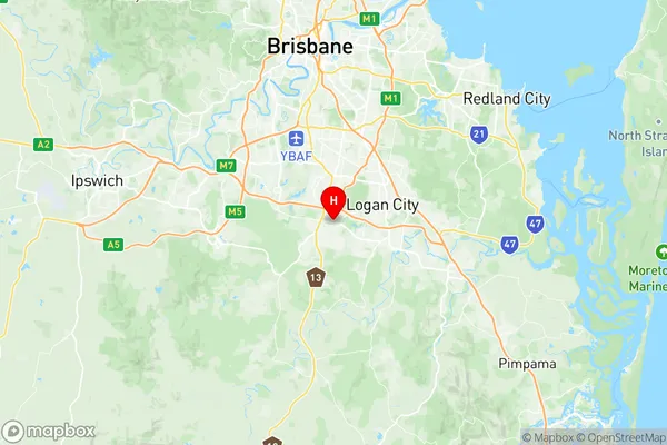
Browns Plains Region Map
Browns Plains Suburbs
Browns Plains full address
Browns Plains, Logan Beaudesert, Queensland, QLD, Australia, SaCode: 311031312Country
Browns Plains, Logan Beaudesert, Queensland, QLD, Australia, SaCode: 311031312
Browns Plains Suburbs & Region, Browns Plains Map & Postcodes has 0 areas or regions above, and there are 0 Browns Plains suburbs below. The sa2code for the Browns Plains region is 311031312. Its latitude and longitude coordinates are -27.662,153.053. Browns Plains area belongs to Australia's greater capital city Greater Brisbane.