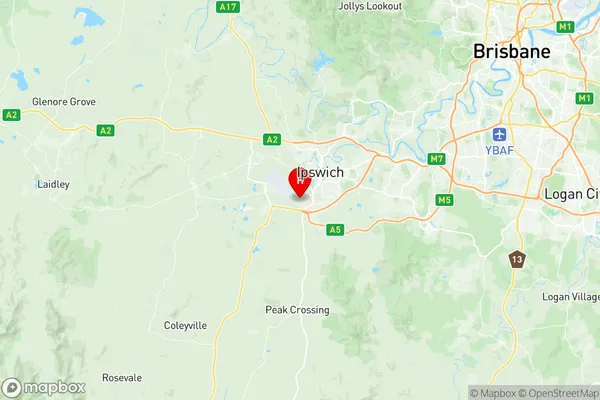
Churchill Yamanto Suburbs & Region, Churchill Yamanto Map & Postcodes
Churchill Yamanto Suburbs & Region, Churchill Yamanto Map & Postcodes in Churchill Yamanto, Ipswich Inner, Ipswich, QLD, AU
Churchill Yamanto Region
Region Name
Churchill Yamanto (QLD, AU)Churchill Yamanto Area
9.37 square kilometers (9.37 ㎢)Postal Codes
4305 (In total, there are 1 postcodes in Churchill Yamanto.)Churchill Yamanto Introduction
Churchill Yamanto is a locality in the City of Ipswich, Queensland, Australia. It is located 12 kilometers west of the Ipswich central business district. The suburb was named after Winston Churchill, a British politician. Churchill Yamanto has a population of around 10,000 people and is home to a number of schools, parks, and recreational facilities. The area is known for its rural atmosphere and scenic views.Australia State
City or Big Region
Greater Capital City
Greater Brisbane (3GBRI)District or Regional Area
Suburb Name
Churchill Yamanto Region Map

Churchill Yamanto Postcodes / Zip Codes
Churchill Yamanto Suburbs
Churchill Yamanto full address
Churchill Yamanto, Ipswich Inner, Ipswich, Queensland, QLD, Australia, SaCode: 310031285Country
Churchill Yamanto, Ipswich Inner, Ipswich, Queensland, QLD, Australia, SaCode: 310031285
Churchill Yamanto Suburbs & Region, Churchill Yamanto Map & Postcodes has 0 areas or regions above, and there are 3 Churchill Yamanto suburbs below. The sa2code for the Churchill Yamanto region is 310031285. Its latitude and longitude coordinates are -27.65,152.733. Churchill Yamanto area belongs to Australia's greater capital city Greater Brisbane.
Churchill Yamanto Suburbs & Localities
1. Bremer
2. Yamanto
3. Churchill
