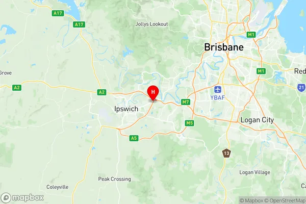
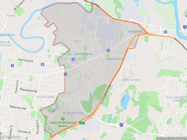
Bundamba Suburbs & Region, Bundamba Map & Postcodes
Bundamba Suburbs & Region, Bundamba Map & Postcodes in Bundamba, Ipswich Inner, Ipswich, QLD, AU
Bundamba Region
Region Name
Bundamba (QLD, AU)Bundamba Area
17.25 square kilometers (17.25 ㎢)Postal Codes
4303, and 4304 (In total, there are 2 postcodes in Bundamba.)Bundamba Introduction
Bundamba is a locality in the City of Ipswich, Queensland, Australia. It is located 11 kilometers west of the Ipswich central business district. At the 2011 Australian census, Bundamba had a population of 6,474 people. Bundamba is a semi-rural area with a mix of residential and agricultural properties. The suburb has a primary school, a post office, a community center, and a number of parks and recreational facilities. The area is known for its scenic views and its proximity to the Bremer River and the Ipswich Forest. The name "Bundamba" is derived from the Aboriginal word "Bundawba," which means "place of water." The area was first settled by Europeans in the 1840s and was originally known as "The Junction." The suburb was developed in the 1950s and 1960s as a residential area for families and has since grown to become a popular suburb with a diverse population.Australia State
City or Big Region
Greater Capital City
Greater Brisbane (3GBRI)District or Regional Area
Suburb Name
Bundamba Region Map

Bundamba Postcodes / Zip Codes
Bundamba Suburbs
Bundamba full address
Bundamba, Ipswich Inner, Ipswich, Queensland, QLD, Australia, SaCode: 310031284Country
Bundamba, Ipswich Inner, Ipswich, Queensland, QLD, Australia, SaCode: 310031284
Bundamba Suburbs & Region, Bundamba Map & Postcodes has 0 areas or regions above, and there are 4 Bundamba suburbs below. The sa2code for the Bundamba region is 310031284. Its latitude and longitude coordinates are -27.6,152.833. Bundamba area belongs to Australia's greater capital city Greater Brisbane.
Bundamba Suburbs & Localities
1. Dinmore
2. Bundamba
3. Ebbw Vale
4. Blackstone
