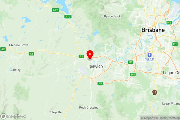
Brassall Suburbs & Region, Brassall Map & Postcodes
Brassall Suburbs & Region, Brassall Map & Postcodes in Brassall, Ipswich Inner, Ipswich, QLD, AU
Brassall Region
Region Name
Brassall (QLD, AU)Brassall Area
8.21 square kilometers (8.21 ㎢)Postal Codes
4305 (In total, there are 1 postcodes in Brassall.)Brassall Introduction
Brassall is a locality in the City of Ipswich, Queensland, Australia. It is located 10 kilometers west of the Ipswich central business district. At the 2011 Australian census, Brassall recorded a population of 4,132 people. The suburb was named after the pastoral property "Brassall", which was established in the 1840s by John Brassall. The land was originally used for grazing and cropping, but it later became a residential area. The Brassall railway station was opened on 1 October 1889, and it served the suburb until the closure of the line in 1996. Today, Brassall is a thriving community with a variety of shops, restaurants, and parks. It is also home to the Brassall State School and the Brassall Golf Club. The suburb is well-connected to the rest of Ipswich, with easy access to the Ipswich motorway and the Brisbane CBD.Australia State
City or Big Region
Greater Capital City
Greater Brisbane (3GBRI)District or Regional Area
Suburb Name
Brassall Region Map

Brassall Postcodes / Zip Codes
Brassall Suburbs
Brassall full address
Brassall, Ipswich Inner, Ipswich, Queensland, QLD, Australia, SaCode: 310031283Country
Brassall, Ipswich Inner, Ipswich, Queensland, QLD, Australia, SaCode: 310031283
Brassall Suburbs & Region, Brassall Map & Postcodes has 0 areas or regions above, and there are 2 Brassall suburbs below. The sa2code for the Brassall region is 310031283. Its latitude and longitude coordinates are -27.591,152.735. Brassall area belongs to Australia's greater capital city Greater Brisbane.
Brassall Suburbs & Localities
1. Brassall
2. Brassall Heights
