Oxley (Qld) Suburbs & Region, Oxley (Qld) Map & Postcodes
Oxley (Qld) Suburbs & Region, Oxley (Qld) Map & Postcodes in Oxley (Qld), Forest Lake Oxley, Ipswich, QLD, AU
Oxley (Qld) Region
Region Name
Oxley (Qld) (QLD, AU)Oxley (Qld) Area
6.92 square kilometers (6.92 ㎢)Postal Codes
4075 (In total, there are 1 postcodes in Oxley (Qld).)Oxley (Qld) Introduction
Oxley is a locality in the City of Ipswich, Queensland, Australia. It is located 10 kilometers west of the Ipswich central business district. Oxley Creek flows through the suburb from north to south, and the Oxley Highway runs through it from east to west. The suburb has a number of parks and recreational facilities, including Oxley Park, which has a cricket ground, a swimming pool, and a playground. Oxley is also home to a number of businesses and industries, including the Oxley Business Park and the Oxley Rail Terminal. The population of Oxley was 5,376 at the 2011 Australian census.Australia State
City or Big Region
Greater Capital City
Greater Brisbane (3GBRI)District or Regional Area
Suburb Name
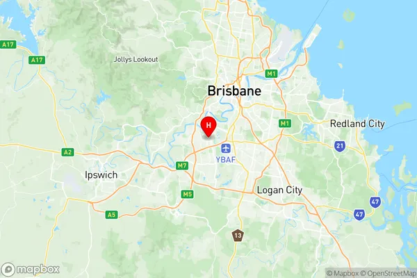
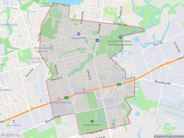
Oxley (Qld) Region Map

Oxley (Qld) Postcodes / Zip Codes
Oxley (Qld) Suburbs
Oxley (Qld) full address
Oxley (Qld), Forest Lake Oxley, Ipswich, Queensland, QLD, Australia, SaCode: 310011275Country
Oxley (Qld), Forest Lake Oxley, Ipswich, Queensland, QLD, Australia, SaCode: 310011275
Oxley (Qld) Suburbs & Region, Oxley (Qld) Map & Postcodes has 0 areas or regions above, and there are 1 Oxley (Qld) suburbs below. The sa2code for the Oxley (Qld) region is 310011275. Its latitude and longitude coordinates are -27.5534,152.973. Oxley (Qld) area belongs to Australia's greater capital city Greater Brisbane.
Oxley (Qld) Suburbs & Localities
1. Oxley
