Durack Suburbs & Region, Durack Map & Postcodes
Durack Suburbs & Region, Durack Map & Postcodes in Durack, Forest Lake Oxley, Ipswich, QLD, AU
Durack Region
Region Name
Durack (QLD, AU)Durack Area
4.37 square kilometers (4.37 ㎢)Postal Codes
4077 (In total, there are 1 postcodes in Durack.)Durack Introduction
Durack is a locality in the City of Ipswich, Queensland, Australia. It is located 11 km west of the Ipswich central business district. Durack is a semi-rural area with a population of around 10,000 people. It is known for its agricultural industry, with many farms and plantations in the area. The locality also has a primary school, a post office, a supermarket, and a number of cafes and restaurants. The nearby Bremer River provides opportunities for fishing and swimming. Durack is surrounded by beautiful bushland and is a popular destination for outdoor enthusiasts.Australia State
City or Big Region
Greater Capital City
Greater Brisbane (3GBRI)District or Regional Area
Suburb Name
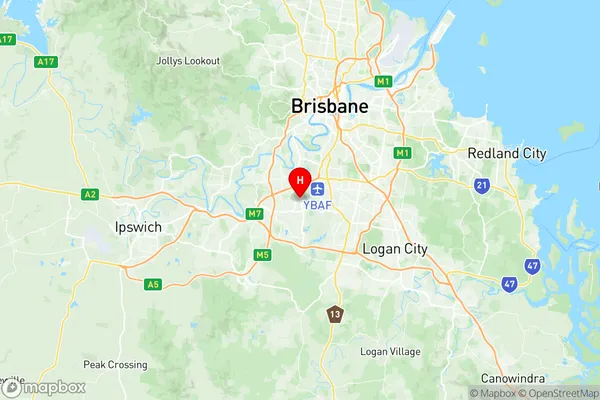
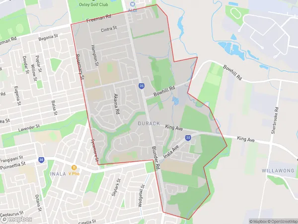
Durack Region Map

Durack Postcodes / Zip Codes
Durack Suburbs
Durack full address
Durack, Forest Lake Oxley, Ipswich, Queensland, QLD, Australia, SaCode: 310011272Country
Durack, Forest Lake Oxley, Ipswich, Queensland, QLD, Australia, SaCode: 310011272
Durack Suburbs & Region, Durack Map & Postcodes has 0 areas or regions above, and there are 3 Durack suburbs below. The sa2code for the Durack region is 310011272. Its latitude and longitude coordinates are -27.5833,152.983. Durack area belongs to Australia's greater capital city Greater Brisbane.
Durack Suburbs & Localities
1. Inala Heights
2. Inala West
3. Durack
