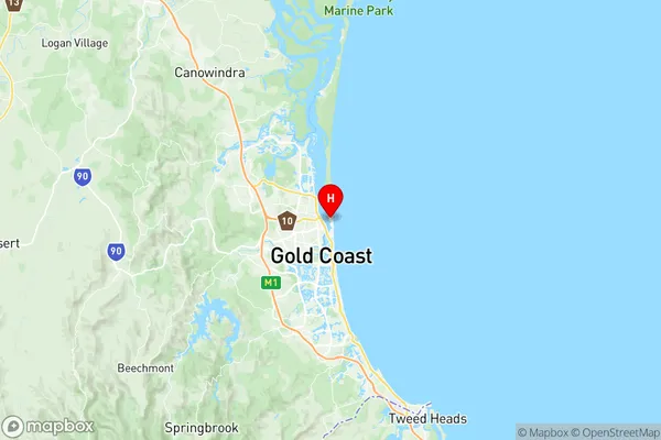
Main Beach Suburbs & Region, Main Beach Map & Postcodes
Main Beach Suburbs & Region, Main Beach Map & Postcodes in Main Beach, Surfers Paradise, Gold Coast, QLD, AU
Main Beach Region
Region Name
Main Beach (QLD, AU)Main Beach Area
3.46 square kilometers (3.46 ㎢)Postal Codes
4217 (In total, there are 1 postcodes in Main Beach.)Main Beach Introduction
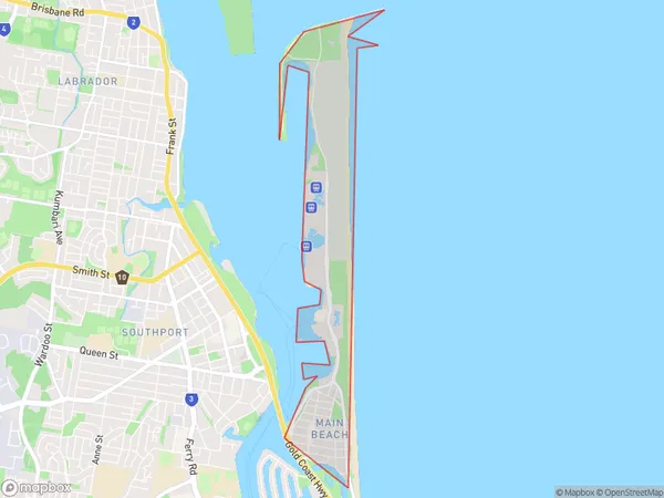
Main Beach is a suburb in the City of Gold Coast, Queensland, Australia. It is located between the Broadwater and the Nerang River. The suburb is known for its wide sandy beaches, patrolled by lifeguards during the swimming season. It has a variety of accommodation options, including hotels, resorts, and holiday apartments. Main Beach is also home to a number of restaurants, cafes, and retail stores. The suburb is a popular destination for tourists and locals alike, with many activities and attractions to enjoy. It is also within easy reach of other Gold Coast attractions, such as theme parks, shopping centers, and nightlife.Australia State
City or Big Region
Greater Capital City
Rest of Qld (3RQLD)District or Regional Area
Suburb Name
Main Beach Region Map

Main Beach Postcodes / Zip Codes
Main Beach Suburbs
Main Beach full address
Main Beach, Surfers Paradise, Gold Coast, Queensland, QLD, Australia, SaCode: 309101269Country
Main Beach, Surfers Paradise, Gold Coast, Queensland, QLD, Australia, SaCode: 309101269
Main Beach Suburbs & Region, Main Beach Map & Postcodes has 0 areas or regions above, and there are 1 Main Beach suburbs below. The sa2code for the Main Beach region is 309101269. Its latitude and longitude coordinates are -27.963,153.426. Main Beach area belongs to Australia's greater capital city Rest of Qld.
Main Beach Suburbs & Localities
1. Main Beach
