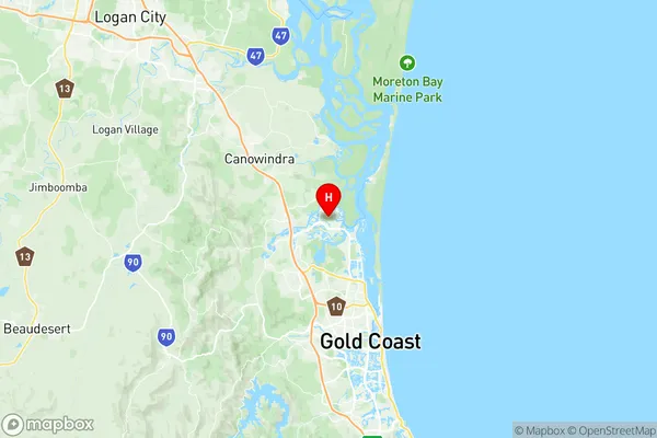
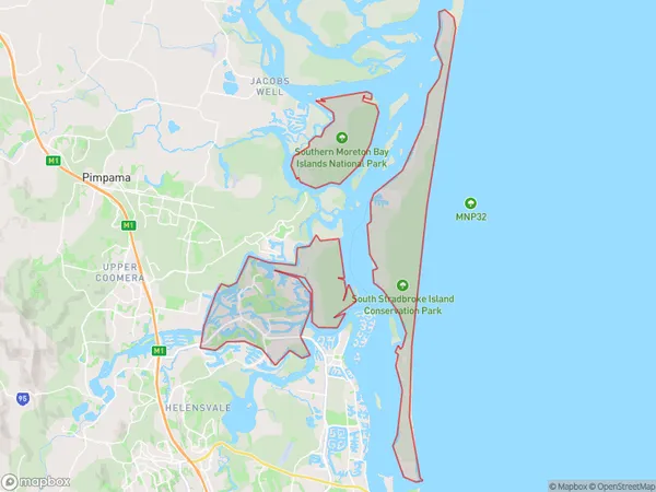
Hope Island Suburbs & Region, Hope Island Map & Postcodes
Hope Island Suburbs & Region, Hope Island Map & Postcodes in Hope Island, Ormeau Oxenford, Gold Coast, QLD, AU
Hope Island Region
Region Name
Hope Island (QLD, AU)Hope Island Area
55.78 square kilometers (55.78 ㎢)Postal Codes
4212, and 4216 (In total, there are 2 postcodes in Hope Island.)Hope Island Introduction
Hope Island is a residential suburb on the Gold Coast, Queensland, Australia. It is located in the City of Gold Coast and is part of the Broadbeach Waters region. The suburb is named after the Hope Island Resort and is surrounded by the Broadwater Canal and the Pacific Ocean. Hope Island is known for its luxury homes, high-end resorts, and exclusive golf courses. It is a popular destination for tourists and wealthy individuals and has a reputation for being a prestigious and exclusive area. The suburb has a variety of amenities, including a shopping center, a marina, and a golf club. Hope Island is also home to a number of wildlife species, including koalas, wallabies, and crocodiles. The Broadwater Parklands, which cover a large area of the suburb, are a popular spot for picnics, walks, and bike rides. Overall, Hope Island is a beautiful and luxurious suburb that offers a high quality of life to its residents and visitors.Australia State
City or Big Region
Greater Capital City
Rest of Qld (3RQLD)District or Regional Area
Suburb Name
Hope Island Region Map

Hope Island Postcodes / Zip Codes
Hope Island Suburbs
Hope Island full address
Hope Island, Ormeau Oxenford, Gold Coast, Queensland, QLD, Australia, SaCode: 309071253Country
Hope Island, Ormeau Oxenford, Gold Coast, Queensland, QLD, Australia, SaCode: 309071253
Hope Island Suburbs & Region, Hope Island Map & Postcodes has 0 areas or regions above, and there are 8 Hope Island suburbs below. The sa2code for the Hope Island region is 309071253. Its latitude and longitude coordinates are -27.8669,153.362. Hope Island area belongs to Australia's greater capital city Rest of Qld.
Hope Island Suburbs & Localities
1. Hope Island
2. Santa Barbara
3. Boykambil
4. Sanctuary Cove
5. Currigee
6. Paradise Point Keys
7. South Stradbroke
8. Paradise Point
