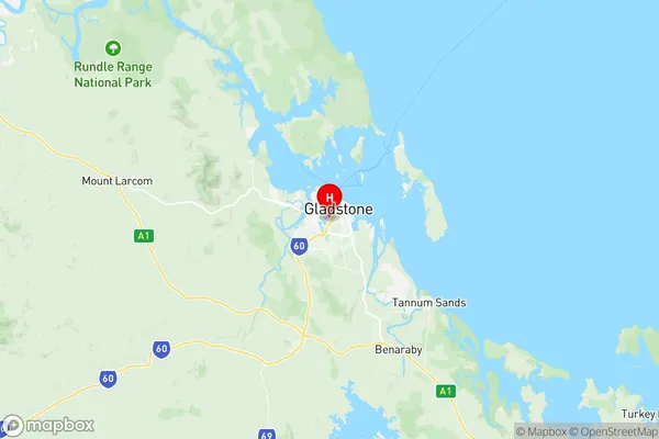
West Gladstone Suburbs & Region, West Gladstone Map & Postcodes
West Gladstone Suburbs & Region, West Gladstone Map & Postcodes in West Gladstone, Gladstone Biloela, Fitzroy, QLD, AU
West Gladstone Region
Region Name
West Gladstone (QLD, AU)West Gladstone Area
7.07 square kilometers (7.07 ㎢)Postal Codes
4680 (In total, there are 1 postcodes in West Gladstone.)West Gladstone Introduction
West Gladstone is a locality in the City of Brisbane, Queensland, Australia. It is located 7 kilometers west of the Brisbane CBD in the suburb of Fitzroy. The locality has a population of around 2,000 people and is known for its historic buildings and vibrant community. West Gladstone was named after the British Prime Minister William Ewart Gladstone. The area was developed in the late 19th century as a residential suburb for workers in the nearby Brisbane CBD. It is home to a number of heritage-listed buildings, including the West Gladstone Town Hall and the West Gladstone Post Office. The suburb also has a number of parks and recreational facilities, including the West Gladstone Park and the West Gladstone Aquatic Centre.Australia State
City or Big Region
Greater Capital City
Rest of Qld (3RQLD)District or Regional Area
Suburb Name
West Gladstone Region Map

West Gladstone Postcodes / Zip Codes
West Gladstone Suburbs
West Gladstone full address
West Gladstone, Gladstone Biloela, Fitzroy, Queensland, QLD, Australia, SaCode: 308051539Country
West Gladstone, Gladstone Biloela, Fitzroy, Queensland, QLD, Australia, SaCode: 308051539
West Gladstone Suburbs & Region, West Gladstone Map & Postcodes has 0 areas or regions above, and there are 2 West Gladstone suburbs below. The sa2code for the West Gladstone region is 308051539. Its latitude and longitude coordinates are -23.8553,151.245. West Gladstone area belongs to Australia's greater capital city Rest of Qld.
West Gladstone Suburbs & Localities
1. West Gladstone
2. Hetherington
