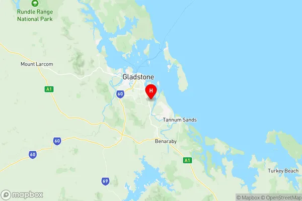
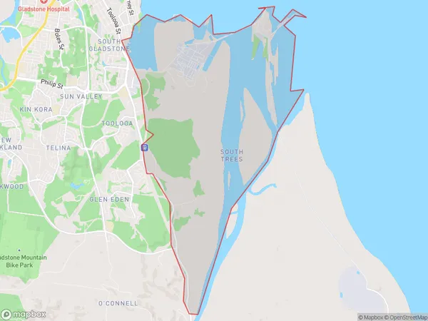
South Trees Suburbs & Region, South Trees Map & Postcodes
South Trees Suburbs & Region, South Trees Map & Postcodes in South Trees, Gladstone Biloela, Fitzroy, QLD, AU
South Trees Region
Region Name
South Trees (QLD, AU)South Trees Area
24.11 square kilometers (24.11 ㎢)Postal Codes
4680 (In total, there are 1 postcodes in South Trees.)South Trees Introduction
South Trees is a locality in the City of Brisbane, Queensland, Australia. It is located 5 kilometers south of the Brisbane CBD in the southern suburbs. The suburb has a mixed residential and commercial population and is known for its leafy streets, parks, and recreational facilities. South Trees has a number of schools, including South Trees State School and St. Joseph's College. The suburb is also home to a number of medical and dental clinics, as well as a shopping center and a library.Australia State
City or Big Region
Greater Capital City
Rest of Qld (3RQLD)District or Regional Area
Suburb Name
South Trees Region Map

South Trees Postcodes / Zip Codes
South Trees Suburbs
South Trees full address
South Trees, Gladstone Biloela, Fitzroy, Queensland, QLD, Australia, SaCode: 308051537Country
South Trees, Gladstone Biloela, Fitzroy, Queensland, QLD, Australia, SaCode: 308051537
South Trees Suburbs & Region, South Trees Map & Postcodes has 0 areas or regions above, and there are 1 South Trees suburbs below. The sa2code for the South Trees region is 308051537. Its latitude and longitude coordinates are -23.9022,151.291. South Trees area belongs to Australia's greater capital city Rest of Qld.
South Trees Suburbs & Localities
1. South Trees
