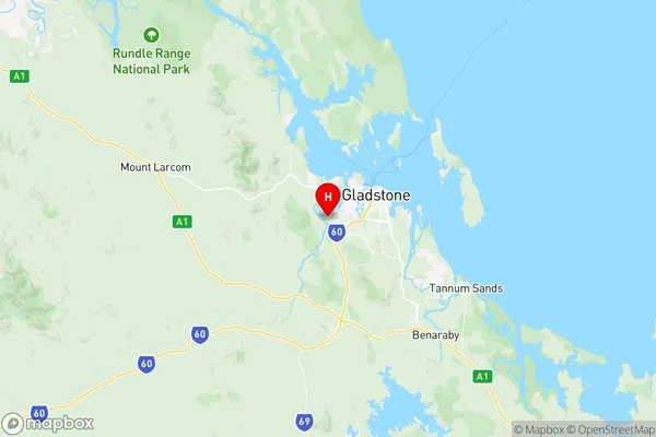
Clinton New Auckland Suburbs & Region, Clinton New Auckland Map & Postcodes
Clinton New Auckland Suburbs & Region, Clinton New Auckland Map & Postcodes in Clinton New Auckland, Gladstone Biloela, Fitzroy, QLD, AU
Clinton New Auckland Region
Region Name
Clinton New Auckland (QLD, AU)Clinton New Auckland Area
22.78 square kilometers (22.78 ㎢)Postal Codes
4680 (In total, there are 1 postcodes in Clinton New Auckland.)Clinton New Auckland Introduction
Clinton New Auckland is a locality in the City of Brisbane, Queensland, Australia. It is located 5 kilometers northwest of the Brisbane CBD. The suburb is named after Sir William Clinton, who was the Governor of New South Wales from 1810 to 1818. The area was originally developed as a farming suburb, but it has since become a residential area with a mix of houses and apartments. Clinton New Auckland has a number of parks and recreational facilities, including a cricket club, tennis courts, and a swimming pool. The suburb is also home to a number of schools, including St. Joseph's College and Our Lady of the Rosary Primary School.Australia State
City or Big Region
Greater Capital City
Rest of Qld (3RQLD)District or Regional Area
Suburb Name
Clinton New Auckland Region Map

Clinton New Auckland Postcodes / Zip Codes
Clinton New Auckland Suburbs
Clinton New Auckland full address
Clinton New Auckland, Gladstone Biloela, Fitzroy, Queensland, QLD, Australia, SaCode: 308051533Country
Clinton New Auckland, Gladstone Biloela, Fitzroy, Queensland, QLD, Australia, SaCode: 308051533
Clinton New Auckland Suburbs & Region, Clinton New Auckland Map & Postcodes has 0 areas or regions above, and there are 4 Clinton New Auckland suburbs below. The sa2code for the Clinton New Auckland region is 308051533. Its latitude and longitude coordinates are -23.8702,151.196. Clinton New Auckland area belongs to Australia's greater capital city Rest of Qld.
Clinton New Auckland Suburbs & Localities
1. Kirkwood
2. Byellee
3. Clinton
4. New Auckland
