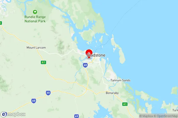
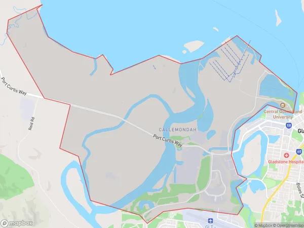
Callemondah Suburbs & Region, Callemondah Map & Postcodes
Callemondah Suburbs & Region, Callemondah Map & Postcodes in Callemondah, Gladstone Biloela, Fitzroy, QLD, AU
Callemondah Region
Region Name
Callemondah (QLD, AU)Callemondah Area
32.73 square kilometers (32.73 ㎢)Callemondah Introduction
Callemondah is a locality in the City of Brisbane, Queensland, Australia. It is located 7 km north of the Brisbane CBD in the suburb of Fitzroy. Callemondah is named after the Callemondah River, which flows through the suburb. The suburb has a mixture of residential and commercial properties and is home to a number of parks and recreational facilities. The Callemondah railway station is located on the Sandgate line, providing easy access to the Brisbane CBD. The suburb is also well-connected to the Bruce Highway, allowing for easy travel to other parts of the state.Australia State
City or Big Region
Greater Capital City
Rest of Qld (3RQLD)District or Regional Area
Suburb Name
Callemondah Region Map

Callemondah Suburbs
Callemondah full address
Callemondah, Gladstone Biloela, Fitzroy, Queensland, QLD, Australia, SaCode: 308051532Country
Callemondah, Gladstone Biloela, Fitzroy, Queensland, QLD, Australia, SaCode: 308051532
Callemondah Suburbs & Region, Callemondah Map & Postcodes has 0 areas or regions above, and there are 0 Callemondah suburbs below. The sa2code for the Callemondah region is 308051532. Its latitude and longitude coordinates are -23.8597,151.224. Callemondah area belongs to Australia's greater capital city Rest of Qld.
