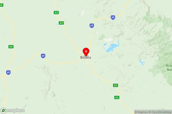
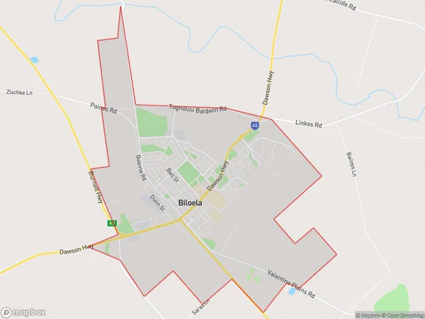
Biloela Suburbs & Region, Biloela Map & Postcodes
Biloela Suburbs & Region, Biloela Map & Postcodes in Biloela, Gladstone Biloela, Fitzroy, QLD, AU
Biloela Region
Region Name
Biloela (QLD, AU)Biloela Area
18.89 square kilometers (18.89 ㎢)Postal Codes
4715 (In total, there are 1 postcodes in Biloela.)Biloela Introduction
Biloela is a locality in the Fitzroy Region, Queensland, Australia. It is one of the major gateways to the Darling Downs from the coast. The town is located 126 km west of Brisbane, the state capital. At the 2011 census, Biloela had a population of 11,339. The town is named after the Biloela River, which flows through it. The river is a tributary of the Fitzroy River. The town is surrounded by farmland and has a number of tourist attractions, including the Biloela Palms Motel and the Biloela Showgrounds. The town also has a number of schools, including a primary school, a high school, and a TAFE college.Australia State
City or Big Region
Greater Capital City
Rest of Qld (3RQLD)District or Regional Area
Suburb Name
Biloela Region Map

Biloela Postcodes / Zip Codes
Biloela Suburbs
Biloela full address
Biloela, Gladstone Biloela, Fitzroy, Queensland, QLD, Australia, SaCode: 308041529Country
Biloela, Gladstone Biloela, Fitzroy, Queensland, QLD, Australia, SaCode: 308041529
Biloela Suburbs & Region, Biloela Map & Postcodes has 0 areas or regions above, and there are 1 Biloela suburbs below. The sa2code for the Biloela region is 308041529. Its latitude and longitude coordinates are -24.3977,150.516. Biloela area belongs to Australia's greater capital city Rest of Qld.
Biloela Suburbs & Localities
1. Biloela
