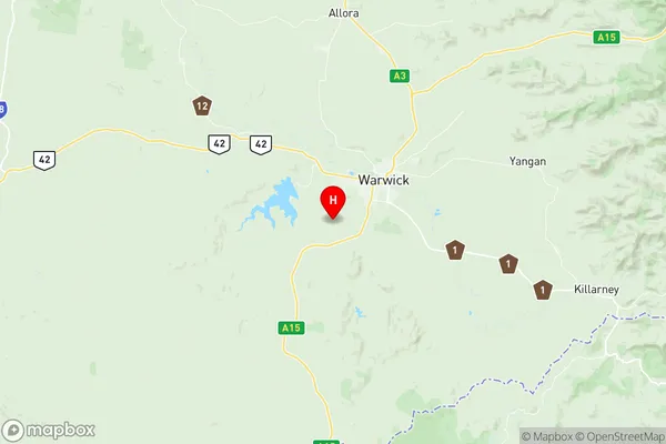
Warwick Suburbs & Region, Warwick Map & Postcodes
Warwick Suburbs & Region, Warwick Map & Postcodes in Warwick, Granite Belt, Darling Downs Maranoa, QLD, AU
Warwick Region
Region Name
Warwick (QLD, AU)Warwick Area
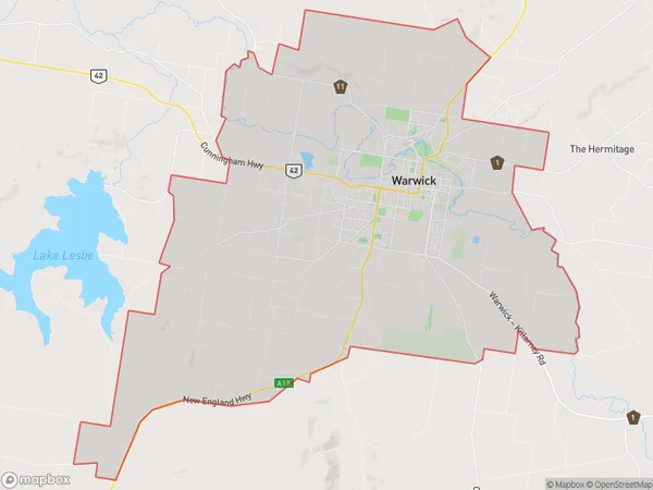
158.72 square kilometers (158.72 ㎢)Postal Codes
4370 (In total, there are 1 postcodes in Warwick.)Warwick Introduction
Warwick is a town and locality in the Darling Downs Region, Queensland, Australia. It is one of the major gateways to the Darling Downs from the Queensland coast. The town is located 125 km west of Brisbane, the state capital. Warwick is a major agricultural center, with a large number of farms producing cotton, wheat, and other crops. The town has a population of around 10,000 people and is known for its historic buildings, including the Warwick Courthouse and the Warwick Hotel. The town also has a number of parks and recreational facilities, including a golf course and a swimming pool.Australia State
City or Big Region
Greater Capital City
Rest of Qld (3RQLD)District or Regional Area
Suburb Name
Warwick Region Map

Warwick Postcodes / Zip Codes
Warwick Suburbs
Warwick full address
Warwick, Granite Belt, Darling Downs Maranoa, Queensland, QLD, Australia, SaCode: 307031189Country
Warwick, Granite Belt, Darling Downs Maranoa, Queensland, QLD, Australia, SaCode: 307031189
Warwick Suburbs & Region, Warwick Map & Postcodes has 0 areas or regions above, and there are 10 Warwick suburbs below. The sa2code for the Warwick region is 307031189. Its latitude and longitude coordinates are -28.2621,151.97. Warwick area belongs to Australia's greater capital city Rest of Qld.
Warwick Suburbs & Localities
1. Glennie Heights
2. Morgan Park
3. Rosenthal Heights
4. Warwick Dc
5. Womina
6. Canningvale
7. Warwick
8. Rosehill
9. Rosenthal
10. Mount Tabor
