Stanthorpe Suburbs & Region, Stanthorpe Map & Postcodes
Stanthorpe Suburbs & Region, Stanthorpe Map & Postcodes in Stanthorpe, Granite Belt, Darling Downs Maranoa, QLD, AU
Stanthorpe Region
Region Name
Stanthorpe (QLD, AU)Stanthorpe Area
33.65 square kilometers (33.65 ㎢)Postal Codes
4380 (In total, there are 1 postcodes in Stanthorpe.)Stanthorpe Introduction
Stanthorpe is a town in the Darling Downs region of Queensland, Australia. It is the administrative center of the Stanthorpe Shire and is located 125 kilometers southeast of the state capital, Brisbane. The town is known for its rich agricultural heritage and is a major producer of cotton, wheat, and other crops. Stanthorpe also has a historic downtown area with many heritage-listed buildings, including the Stanthorpe Cheese Factory and the Stanthorpe Hotel. The town is surrounded by beautiful countryside and is popular with tourists and outdoor enthusiasts.Australia State
City or Big Region
Greater Capital City
Rest of Qld (3RQLD)District or Regional Area
Suburb Name
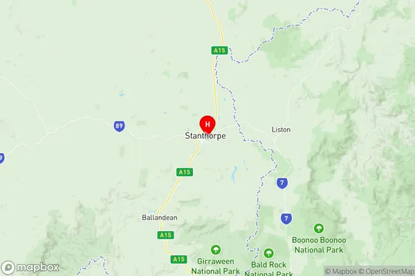
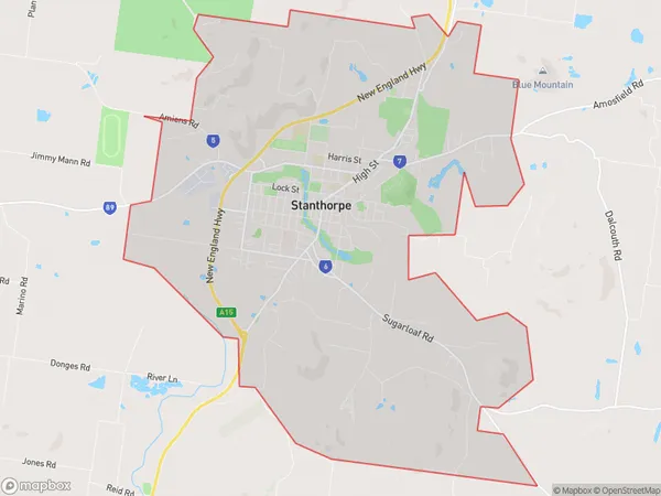
Stanthorpe Region Map

Stanthorpe Postcodes / Zip Codes
Stanthorpe Suburbs
Stanthorpe full address
Stanthorpe, Granite Belt, Darling Downs Maranoa, Queensland, QLD, Australia, SaCode: 307031187Country
Stanthorpe, Granite Belt, Darling Downs Maranoa, Queensland, QLD, Australia, SaCode: 307031187
Stanthorpe Suburbs & Region, Stanthorpe Map & Postcodes has 0 areas or regions above, and there are 1 Stanthorpe suburbs below. The sa2code for the Stanthorpe region is 307031187. Its latitude and longitude coordinates are -28.66,151.938. Stanthorpe area belongs to Australia's greater capital city Rest of Qld.
Stanthorpe Suburbs & Localities
1. Stanthorpe
