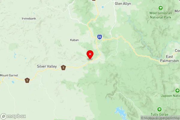
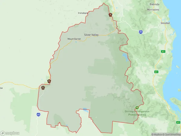
Herberton Suburbs & Region, Herberton Map & Postcodes
Herberton Suburbs & Region, Herberton Map & Postcodes in Herberton, Tablelands (East) Kuranda, Cairns, QLD, AU
Herberton Region
Region Name
Herberton (QLD, AU)Herberton Area
9566 square kilometers (9,566 ㎢)Postal Codes
4872, 4887, and 4888 (In total, there are 3 postcodes in Herberton.)Herberton Introduction
Herberton is a locality in the Cairns Region, Queensland, Australia. It is one of the northern suburbs of Cairns. In the 2011 census, Herbertton had a population of 1,332 people. Herbertton is a planned community that was established in the 1970s as a coal mining town. The town was named after the Herbert River, which flows through the area. The coal mines closed in the 1990s, and the town has since transitioned to a tourism and agricultural industry. The town is located in the Wet Tropics World Heritage Area and is surrounded by lush rainforests and waterfalls. The Herbert Riverwalk is a popular attraction in the town, which follows the course of the Herbert River through the town. The town also has a number of parks and recreational facilities, including a golf course and a swimming pool. Herbertton is a popular destination for tourists who are interested in hiking, fishing, and exploring the natural beauty of the region. The town is also home to a number of agricultural businesses, including banana plantations and sugarcane farms.Australia State
City or Big Region
Greater Capital City
Rest of Qld (3RQLD)District or Regional Area
Suburb Name
Herberton Region Map

Herberton Postcodes / Zip Codes
Herberton Suburbs
Herberton full address
Herberton, Tablelands (East) Kuranda, Cairns, Queensland, QLD, Australia, SaCode: 306051167Country
Herberton, Tablelands (East) Kuranda, Cairns, Queensland, QLD, Australia, SaCode: 306051167
Herberton Suburbs & Region, Herberton Map & Postcodes has 0 areas or regions above, and there are 18 Herberton suburbs below. The sa2code for the Herberton region is 306051167. Its latitude and longitude coordinates are -17.6092,145.484. Herberton area belongs to Australia's greater capital city Rest of Qld.
Herberton Suburbs & Localities
1. Gunnawarra
2. Koombooloomba
3. Minnamoolka
4. Mount Garnet
5. Silver Valley
6. Glen Ruth
7. Innot Hot Springs
8. Moomin
9. Wondecla
10. Evelyn
11. Millstream
12. Wairuna
13. Kirrama
14. Kalunga
15. Herberton
16. Kaban
17. Ravenshoe
18. Tumoulin
