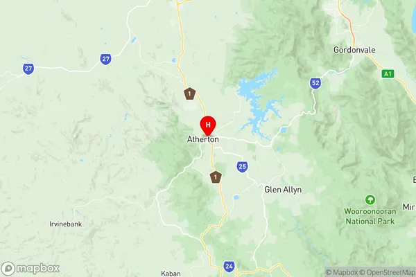
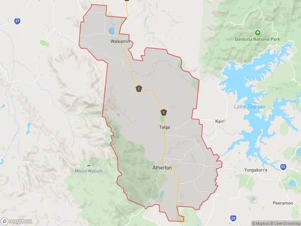
Atherton Suburbs & Region, Atherton Map & Postcodes
Atherton Suburbs & Region, Atherton Map & Postcodes in Atherton, Tablelands (East) Kuranda, Cairns, QLD, AU
Atherton Region
Region Name
Atherton (QLD, AU)Atherton Area
235.19 square kilometers (235.19 ㎢)Postal Codes
4872, 4882, and 4883 (In total, there are 3 postcodes in Atherton.)Atherton Introduction
Atherton is a locality in the Cairns Region, Queensland, Australia. It is one of the northern suburbs of Cairns and is located 12 kilometers northwest of the Cairns city center. The suburb is named after the Atherton Tablelands, which are located to the north of the suburb. Atherton is a popular tourist destination due to its proximity to the Great Barrier Reef and the tropical rainforest. The suburb has a population of around 10,000 people and is home to a number of popular attractions, including the Atherton Tablelands National Park, the Atherton Waterfalls, and the Sir Joseph Banks Botanical Garden.Australia State
City or Big Region
Greater Capital City
Rest of Qld (3RQLD)District or Regional Area
Suburb Name
Atherton Region Map

Atherton Postcodes / Zip Codes
Atherton Suburbs
Atherton full address
Atherton, Tablelands (East) Kuranda, Cairns, Queensland, QLD, Australia, SaCode: 306051166Country
Atherton, Tablelands (East) Kuranda, Cairns, Queensland, QLD, Australia, SaCode: 306051166
Atherton Suburbs & Region, Atherton Map & Postcodes has 0 areas or regions above, and there are 4 Atherton suburbs below. The sa2code for the Atherton region is 306051166. Its latitude and longitude coordinates are -17.2661,145.486. Atherton area belongs to Australia's greater capital city Rest of Qld.
Atherton Suburbs & Localities
1. Walkamin
2. Atherton
3. Tolga
4. Carrington
