Toowong Suburbs & Region, Toowong Map & Postcodes
Toowong Suburbs & Region, Toowong Map & Postcodes in Toowong, Brisbane Inner West, Brisbane Inner City, QLD, AU
Toowong Region
Region Name
Toowong (QLD, AU)Toowong Area
3.88 square kilometers (3.88 ㎢)Postal Codes
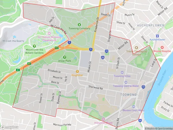
4066 (In total, there are 1 postcodes in Toowong.)Toowong Suburb Area Map (Polygon)
Toowong Introduction
Toowong is a suburb in the City of Brisbane, Queensland, Australia. It is located 5 kilometers west of the Brisbane CBD and is bordered by the Brisbane River to the north and the suburbs of St Lucia, Auchenflower, and Milton to the east, south, and west. Toowong is known for its leafy streets, historic buildings, and vibrant community. It is home to several parks, including Toowong Cemetery and Toowong Village Green. The suburb has a population of approximately 10,000 people and is popular with young professionals and families.Australia State
City or Big Region
Greater Capital City
Greater Brisbane (3GBRI)District or Regional Area
Suburb Name
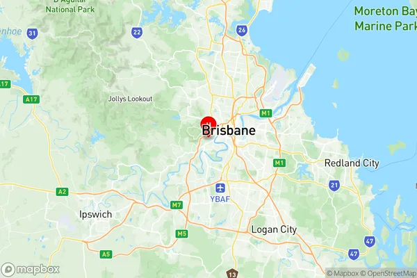
Toowong Region Map
Toowong Postcodes / Zip Codes
Toowong Suburbs
Toowong full address
Toowong, Brisbane Inner West, Brisbane Inner City, Queensland, QLD, Australia, SaCode: 305041137Country
Toowong, Brisbane Inner West, Brisbane Inner City, Queensland, QLD, Australia, SaCode: 305041137
Toowong Suburbs & Region, Toowong Map & Postcodes has 0 areas or regions above, and there are 3 Toowong suburbs below. The sa2code for the Toowong region is 305041137. Its latitude and longitude coordinates are -27.4843,152.984. Toowong area belongs to Australia's greater capital city Greater Brisbane.
Toowong Suburbs & Localities
1. Toowong Bc
2. Toowong
3. Toowong Dc