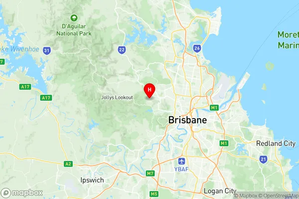
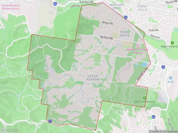
Upper Kedron Ferny Grove Suburbs & Region, Upper Kedron Ferny Grove Map & Postcodes
Upper Kedron Ferny Grove Suburbs & Region, Upper Kedron Ferny Grove Map & Postcodes in Upper Kedron Ferny Grove, Hills District, Moreton Bay South, QLD, AU
Upper Kedron Ferny Grove Region
Region Name
Upper Kedron Ferny Grove (QLD, AU)Upper Kedron Ferny Grove Area
13.2 square kilometers (13.2 ㎢)Postal Codes
4055 (In total, there are 1 postcodes in Upper Kedron Ferny Grove.)Upper Kedron Ferny Grove Introduction
Upper Kedron Ferny Grove is a suburb in the Moreton Bay Region, Queensland, Australia. It is located 10 kilometers northwest of Brisbane's central business district and is part of the City of Brisbane local government area. The suburb has a population of around 11,000 people and is known for its leafy streets, quiet parks, and well-maintained homes. Upper Kedron Ferny Grove has a variety of shopping centers, including Ferny Grove Village and The Grove Shopping Centre, as well as several schools, including Ferny Grove State School and St. Joseph's College. The suburb is also home to a number of medical facilities, including the Ferny Grove Medical Centre and the Prince Charles Hospital.Australia State
City or Big Region
Greater Capital City
Greater Brisbane (3GBRI)District or Regional Area
Suburb Name
Upper Kedron Ferny Grove Region Map

Upper Kedron Ferny Grove Postcodes / Zip Codes
Upper Kedron Ferny Grove Suburbs
Upper Kedron Ferny Grove full address
Upper Kedron Ferny Grove, Hills District, Moreton Bay South, Queensland, QLD, Australia, SaCode: 304041104Country
Upper Kedron Ferny Grove, Hills District, Moreton Bay South, Queensland, QLD, Australia, SaCode: 304041104
Upper Kedron Ferny Grove Suburbs & Region, Upper Kedron Ferny Grove Map & Postcodes has 0 areas or regions above, and there are 2 Upper Kedron Ferny Grove suburbs below. The sa2code for the Upper Kedron Ferny Grove region is 304041104. Its latitude and longitude coordinates are -27.4189,152.919. Upper Kedron Ferny Grove area belongs to Australia's greater capital city Greater Brisbane.
Upper Kedron Ferny Grove Suburbs & Localities
1. Ferny Grove
2. Upper Kedron
