Fig Tree Pocket Suburbs & Region, Fig Tree Pocket Map & Postcodes
Fig Tree Pocket Suburbs & Region, Fig Tree Pocket Map & Postcodes in Fig Tree Pocket, Ipswich Inner, Ipswich, QLD, AU
Fig Tree Pocket Region
Region Name
Fig Tree Pocket (QLD, AU)Fig Tree Pocket Area
4.28 square kilometers (4.28 ㎢)Postal Codes
4069 (In total, there are 1 postcodes in Fig Tree Pocket.)Fig Tree Pocket Introduction
Fig Tree Pocket is a suburb in the City of Ipswich, Queensland, Australia. It is located 10 kilometers west of the Ipswich central business district. Fig Tree Pocket is named after the fig trees that once lined the banks of the Bremer River. The suburb has a population of around 10,000 people and is home to a variety of shops, restaurants, and parks. The suburb is also home to the Fig Tree Pocket State School and the Fig Tree Pocket Sports Complex.Australia State
City or Big Region
Greater Capital City
Greater Brisbane (3GBRI)District or Regional Area
Suburb Name
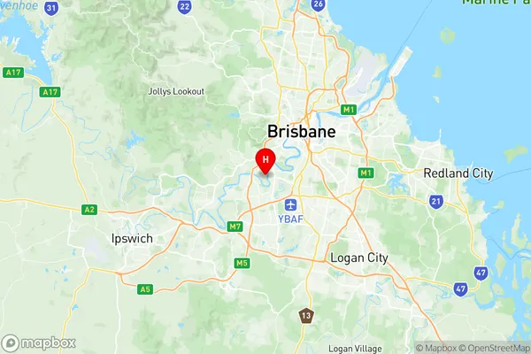
Fig Tree Pocket Region Map

Fig Tree Pocket Postcodes / Zip Codes
Fig Tree Pocket Suburbs
Fig Tree Pocket full address
Fig Tree Pocket, Ipswich Inner, Ipswich, Queensland, QLD, Australia, SaCode: 304021089Country
Fig Tree Pocket, Ipswich Inner, Ipswich, Queensland, QLD, Australia, SaCode: 304021089
Fig Tree Pocket Suburbs & Region, Fig Tree Pocket Map & Postcodes has 0 areas or regions above, and there are 2 Fig Tree Pocket suburbs below. The sa2code for the Fig Tree Pocket region is 304021089. Its latitude and longitude coordinates are -27.5317,152.968. Fig Tree Pocket area belongs to Australia's greater capital city Greater Brisbane.
Fig Tree Pocket Suburbs & Localities
1. Fig Tree Pocket
2. Lone Pine
