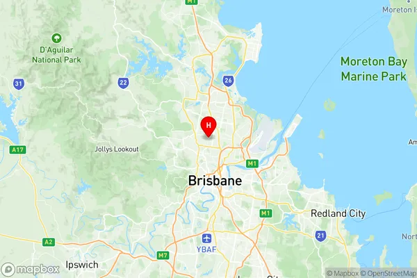
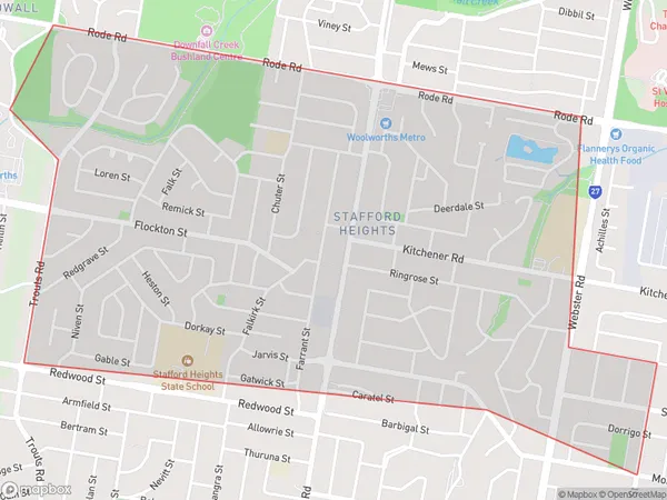
Stafford Heights Suburbs & Region, Stafford Heights Map & Postcodes
Stafford Heights Suburbs & Region, Stafford Heights Map & Postcodes in Stafford Heights, Hills District, Moreton Bay South, QLD, AU
Stafford Heights Region
Region Name
Stafford Heights (QLD, AU)Stafford Heights Area
2.91 square kilometers (2.91 ㎢)Postal Codes
4053 (In total, there are 1 postcodes in Stafford Heights.)Stafford Heights Introduction
Stafford Heights is a suburb in the City of Moreton Bay, Queensland, Australia. It is located 10 kilometers south of the Brisbane CBD and is part of the Moreton Bay Region. The suburb has a population of around 11,000 people and is known for its affordable housing and convenient location. Stafford Heights has a variety of shops, cafes, and restaurants, as well as a community center and a medical center. The suburb is also home to several parks and recreational facilities, including a cricket club, soccer field, and basketball court.Australia State
City or Big Region
Greater Capital City
Greater Brisbane (3GBRI)District or Regional Area
Suburb Name
Stafford Heights Region Map

Stafford Heights Postcodes / Zip Codes
Stafford Heights Suburbs
Stafford Heights full address
Stafford Heights, Hills District, Moreton Bay South, Queensland, QLD, Australia, SaCode: 302021033Country
Stafford Heights, Hills District, Moreton Bay South, Queensland, QLD, Australia, SaCode: 302021033
Stafford Heights Suburbs & Region, Stafford Heights Map & Postcodes has 0 areas or regions above, and there are 2 Stafford Heights suburbs below. The sa2code for the Stafford Heights region is 302021033. Its latitude and longitude coordinates are -27.396,153.011. Stafford Heights area belongs to Australia's greater capital city Greater Brisbane.
Stafford Heights Suburbs & Localities
1. Stafford Heights
2. Somerset Hills
