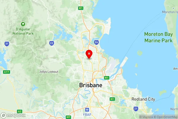
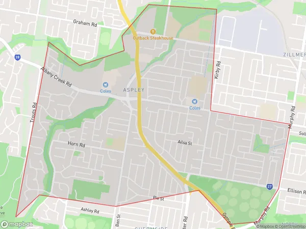
Aspley Suburbs & Region, Aspley Map & Postcodes
Aspley Suburbs & Region, Aspley Map & Postcodes in Aspley, Sandgate, Brisbane North, QLD, AU
Aspley Region
Region Name
Aspley (QLD, AU)Aspley Area
6.26 square kilometers (6.26 ㎢)Postal Codes
4034 (In total, there are 1 postcodes in Aspley.)Aspley Introduction
Aspley is a suburb in the City of Brisbane, Queensland, Australia. It is located 7 kilometers north of the Brisbane CBD and is part of the Greater Brisbane region. Aspley is a diverse suburb with a mix of residential, commercial, and industrial areas. The suburb has a population of around 10,000 people and is home to a number of popular parks, including Aspley Hypermarket Park and Aspley Forest Park. The suburb is also home to a number of schools, including Aspley State School and Aspley Grammar School. Aspley is well-connected to the rest of Brisbane via public transport, with the Aspley Busway providing direct access to the CBD. The suburb is also served by a number of major roads, including the Bruce Highway and the Gateway Motorway.Australia State
City or Big Region
Greater Capital City
Greater Brisbane (3GBRI)District or Regional Area
Suburb Name
Aspley Region Map

Aspley Postcodes / Zip Codes
Aspley Suburbs
Aspley full address
Aspley, Sandgate, Brisbane North, Queensland, QLD, Australia, SaCode: 302021027Country
Aspley, Sandgate, Brisbane North, Queensland, QLD, Australia, SaCode: 302021027
Aspley Suburbs & Region, Aspley Map & Postcodes has 0 areas or regions above, and there are 1 Aspley suburbs below. The sa2code for the Aspley region is 302021027. Its latitude and longitude coordinates are -27.3639,153.016. Aspley area belongs to Australia's greater capital city Greater Brisbane.
Aspley Suburbs & Localities
1. Aspley
