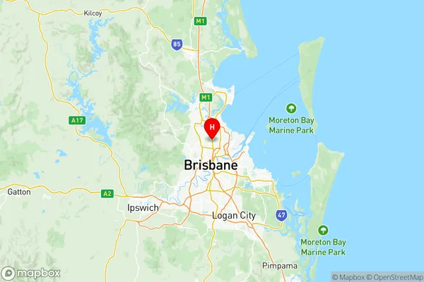
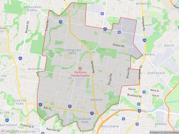
Chermside Suburbs & Region, Chermside Map & Postcodes
Chermside Suburbs & Region, Chermside Map & Postcodes in Chermside, Brisbane North, QLD, AU
Chermside Region
Region Name
Chermside (QLD, AU)Chermside Area
32.24 square kilometers (32.24 ㎢)Postal Codes
4032 (In total, there are 1 postcodes in Chermside.)Chermside Introduction
Chermside is a suburb in the City of Brisbane, Queensland, Australia. It is located 7 kilometers northwest of the Brisbane CBD and is part of the Greater Brisbane region. The suburb has a population of around 30,000 people and is known for its large shopping centers, including Westfield Chermside and The Pines Shopping Centre. Chermside also has a variety of parks and recreational facilities, including the Chermside Parklands and the Prince Charles Hospital. The suburb is well-serviced by public transport, with several bus routes and the Chermside railway station located within its boundaries.Australia State
City or Big Region
District or Regional Area
Chermside Region Map

Chermside Postcodes / Zip Codes
Chermside Suburbs
Chermside West
Chermside full address
Chermside, Brisbane North, Queensland, QLD, Australia, SaCode: 30202Country
Chermside, Brisbane North, Queensland, QLD, Australia, SaCode: 30202
Chermside Suburbs & Region, Chermside Map & Postcodes has 2 areas or regions above, and there are 6 Chermside suburbs below. The sa3code for the Chermside region is 30202. Its latitude and longitude coordinates are -27.3859,153.029.
Chermside Suburbs & Localities
1. Chermside South
2. Chermside Bc
3. Chermside Centre
4. Chermside
5. Chermside West
6. Craigslea
