Craigslea Area, Craigslea Postcode(4032) & Map in Craigslea, Brisbane - North, QLD
Craigslea Area, Craigslea Postcode(4032) & Map in Craigslea, Brisbane - North, QLD, AU, Postcode: 4032
Craigslea, Chermside West, Chermside, Brisbane - North, Queensland, Australia, 4032
Craigslea Postcode
Area Name
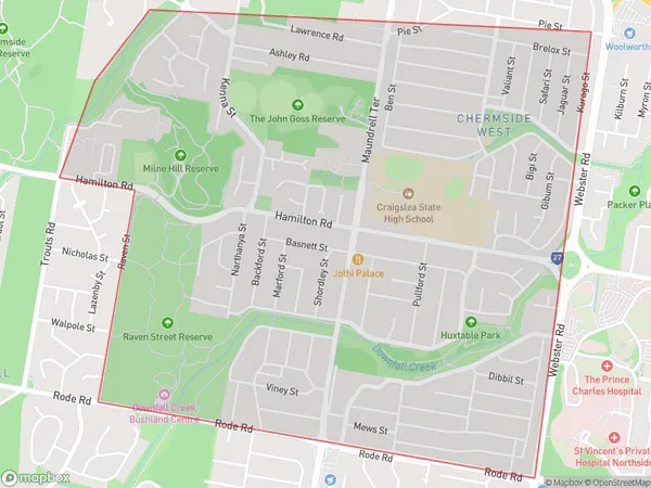
CraigsleaCraigslea Suburb Area Map (Polygon)

Craigslea Introduction
Craigslea is a suburb in the northern part of Brisbane, Queensland, Australia. It is located 5 kilometers from the city center and is part of the City of Brisbane local government area. The suburb has a population of around 2,000 people and is known for its affordable housing and convenient location. It is surrounded by other suburbs such as Aspley, Boondall, and Chermside and is within easy reach of the Brisbane Airport and the Gateway Motorway.State Name
City or Big Region
District or Regional Area
Suburb Name
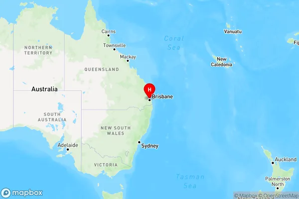
Craigslea Region Map

Country
Main Region in AU
R1Coordinates
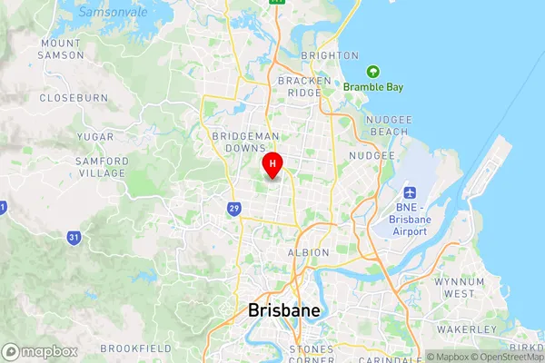
-27.3825,153.015 (latitude/longitude)Craigslea Area Map (Street)

Longitude
153.019449Latitude
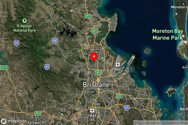
-27.385605Craigslea Suburb Map (Satellite)

Distances
The distance from Craigslea, Brisbane - North, QLD to AU Greater Capital CitiesSA1 Code 2011
30202102914SA1 Code 2016
30202102914SA2 Code
302021029SA3 Code
30202SA4 Code
302RA 2011
1RA 2016
1MMM 2015
1MMM 2019
1Charge Zone
Q1LGA Region
BrisbaneLGA Code
31000Electorate
Lilley