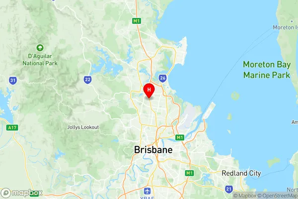
Carseldine Suburbs & Region, Carseldine Map & Postcodes
Carseldine Suburbs & Region, Carseldine Map & Postcodes in Carseldine, Sandgate, Brisbane North, QLD, AU
Carseldine Region
Region Name
Carseldine (QLD, AU)Carseldine Area
4.55 square kilometers (4.55 ㎢)Postal Codes
4034 (In total, there are 1 postcodes in Carseldine.)Carseldine Introduction
Carseldine is a suburb in the City of Brisbane, Queensland, Australia. It is located 10 kilometers north of the Brisbane CBD and is part of the North Brisbane Region. The suburb has a population of around 11,000 people and is known for its large shopping center, Carseldine Village. The area was first developed in the 1970s and has since grown to include a variety of housing types, including apartments, townhouses, and single-family homes. Carseldine is also home to several parks and recreational facilities, including a cricket club, tennis courts, and a swimming pool. The suburb is well-connected to the rest of Brisbane via the Bruce Highway and is within walking distance of several schools and childcare centers.Australia State
City or Big Region
Greater Capital City
Greater Brisbane (3GBRI)District or Regional Area
Suburb Name
Carseldine Region Map

Carseldine Postcodes / Zip Codes
Carseldine Suburbs
Carseldine full address
Carseldine, Sandgate, Brisbane North, Queensland, QLD, Australia, SaCode: 302011024Country
Carseldine, Sandgate, Brisbane North, Queensland, QLD, Australia, SaCode: 302011024
Carseldine Suburbs & Region, Carseldine Map & Postcodes has 0 areas or regions above, and there are 1 Carseldine suburbs below. The sa2code for the Carseldine region is 302011024. Its latitude and longitude coordinates are -27.3459,153.012. Carseldine area belongs to Australia's greater capital city Greater Brisbane.
Carseldine Suburbs & Localities
1. Carseldine
