Bald Hills Suburbs & Region, Bald Hills Map & Postcodes
Bald Hills Suburbs & Region, Bald Hills Map & Postcodes in Bald Hills, Sandgate, Brisbane North, QLD, AU
Bald Hills Region
Region Name
Bald Hills (QLD, AU)Bald Hills Area
13.35 square kilometers (13.35 ㎢)Postal Codes
4036 (In total, there are 1 postcodes in Bald Hills.)Bald Hills Introduction
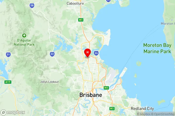
Bald Hills is a locality in the City of Brisbane, Queensland, Australia. It is located 8 kilometers northwest of the Brisbane CBD in the suburb of Bald Hills. The locality is named after the Bald Hills Range, which forms part of its eastern boundary. Bald Hills is a residential area with a mix of detached houses and units. It has a number of parks and recreational facilities, including a cricket club, tennis courts, and a basketball court. The area is well-serviced by public transport, with the Bald Hills Busway providing access to the city and other suburbs.Australia State
City or Big Region
Greater Capital City
Greater Brisbane (3GBRI)District or Regional Area
Suburb Name
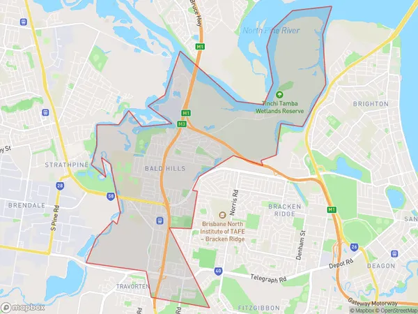
Bald Hills Region Map

Bald Hills Postcodes / Zip Codes
Bald Hills Suburbs
Bald Hills full address
Bald Hills, Sandgate, Brisbane North, Queensland, QLD, Australia, SaCode: 302011022Country
Bald Hills, Sandgate, Brisbane North, Queensland, QLD, Australia, SaCode: 302011022
Bald Hills Suburbs & Region, Bald Hills Map & Postcodes has 0 areas or regions above, and there are 1 Bald Hills suburbs below. The sa2code for the Bald Hills region is 302011022. Its latitude and longitude coordinates are -27.3138,153.009. Bald Hills area belongs to Australia's greater capital city Greater Brisbane.
Bald Hills Suburbs & Localities
1. Bald Hills
