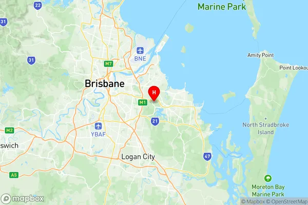
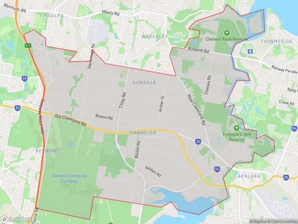
Belmont Gumdale Suburbs & Region, Belmont Gumdale Map & Postcodes
Belmont Gumdale Suburbs & Region, Belmont Gumdale Map & Postcodes in Belmont Gumdale, Capalaba, Brisbane East, QLD, AU
Belmont Gumdale Region
Region Name
Belmont Gumdale (QLD, AU)Belmont Gumdale Area
33.11 square kilometers (33.11 ㎢)Postal Codes
from 4153 to 4155 (In total, there are 3 postcodes in Belmont Gumdale.)Belmont Gumdale Introduction
Belmont Gumdale is a suburb in the City of Brisbane, Queensland, Australia. It is located 10 kilometers east of the Brisbane CBD and is part of the Greater Brisbane region. The suburb is named after the Belmont Racecourse, which was located in the area until it was closed in 1999. Belmont Gumdale is a diverse suburb with a mix of residential, commercial, and industrial areas. The suburb has a population of around 11,000 people and is home to a number of cultural and recreational facilities, including the Gumdale Community Centre, the Belmont State School, and the Gumdale Sports Complex. The suburb is well-connected to the rest of Brisbane via the Pacific Motorway and the Gateway Motorway. It is also served by a number of bus routes, including the 410 and 412 services, which provide access to the Brisbane CBD and other parts of the city. Belmont Gumdale is a popular suburb for families and young professionals due to its affordable housing, good schools, and proximity to the city. The suburb has a number of parks and recreational areas, including the Gumdale Parklands, which features a playground, walking tracks, and picnic facilities. In conclusion, Belmont Gumdale is a vibrant and diverse suburb with a lot to offer its residents. It is a popular location for families and young professionals due to its affordable housing, good schools, and proximity toAustralia State
City or Big Region
Greater Capital City
Greater Brisbane (3GBRI)District or Regional Area
Suburb Name
Belmont Gumdale Region Map

Belmont Gumdale Postcodes / Zip Codes
Belmont Gumdale Suburbs
Belmont Gumdale full address
Belmont Gumdale, Capalaba, Brisbane East, Queensland, QLD, Australia, SaCode: 301011002Country
Belmont Gumdale, Capalaba, Brisbane East, Queensland, QLD, Australia, SaCode: 301011002
Belmont Gumdale Suburbs & Region, Belmont Gumdale Map & Postcodes has 0 areas or regions above, and there are 5 Belmont Gumdale suburbs below. The sa2code for the Belmont Gumdale region is 301011002. Its latitude and longitude coordinates are -27.514,153.156. Belmont Gumdale area belongs to Australia's greater capital city Greater Brisbane.
Belmont Gumdale Suburbs & Localities
1. Belmont
2. Belmont Heights
3. Gumdale
4. Ransome
5. Chandler
