Corangamite North Suburbs & Region, Corangamite North Map & Postcodes
Corangamite North Suburbs & Region, Corangamite North Map & Postcodes in Corangamite North, Warrnambool Otway Ranges, Warrnambool and South West, VIC, AU
Corangamite North Region
Region Name
Corangamite North (VIC, AU)Corangamite North Area
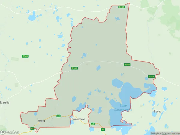
2538 square kilometers (2,538 ㎢)Corangamite North Suburb Area Map (Polygon)
Corangamite North Introduction
Corangamite North, Warrnambool and South West is a federal electoral division in Victoria, Australia. It was created in 1949 and named after the Corangamite River, which flows through the area. The division covers the local government areas of the City of Warrnambool, the Shire of Buloke, the Shire of Corangamite, and the part of the Shire of Mount Jeffcott that lies west of the Warrnambool River. It is represented in the Australian House of Representatives by the Liberal Party of Australia's Luke Simpkins, who has held the seat since 2019.Australia State
City or Big Region
Greater Capital City
Rest of Vic. (2RVIC)District or Regional Area
Suburb Name
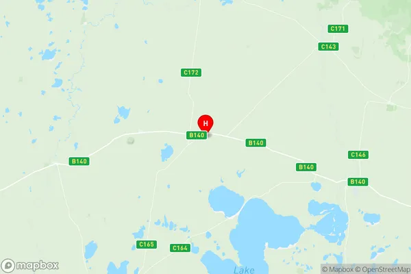
Corangamite North Region Map
Corangamite North Suburbs
Corangamite North full address
Corangamite North, Warrnambool Otway Ranges, Warrnambool and South West, Victoria, VIC, Australia, SaCode: 217031474Country
Corangamite North, Warrnambool Otway Ranges, Warrnambool and South West, Victoria, VIC, Australia, SaCode: 217031474
Corangamite North Suburbs & Region, Corangamite North Map & Postcodes has 0 areas or regions above, and there are 0 Corangamite North suburbs below. The sa2code for the Corangamite North region is 217031474. Its latitude and longitude coordinates are -37.9553,143.349. Corangamite North area belongs to Australia's greater capital city Rest of Vic..