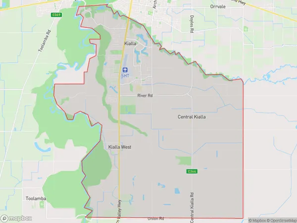
Kialla Suburbs & Region, Kialla Map & Postcodes
Kialla Suburbs & Region, Kialla Map & Postcodes in Kialla, Shepparton, VIC, AU
Kialla Region
Region Name
Kialla (VIC, AU)Kialla Area
77.44 square kilometers (77.44 ㎢)Kialla Introduction
Shepparton is a city in north-central Victoria, Australia. It is located on the Murray River, at the junction of the Goulburn and Broken rivers, and is approximately 150 miles (240 km) north-west of Melbourne. The city has a population of around 200,000 people and is the administrative center of the Shepparton District. Shepparton is known for its agriculture, with a large number of farms producing cotton, wheat, and other crops. The city also has a significant manufacturing sector, with a number of factories producing food, beverages, and other products. The city is home to a number of cultural institutions, including the Shepparton Art Museum, the Shepparton Regional Gallery, and the Shepparton Theatre. Shepparton is also a popular tourist destination, with a number of attractions including the Shepparton Botanical Gardens, the Shepparton Splash Park, and the Shepparton Zoo. The city is also home to a number of sporting facilities, including the Shepparton Sports Stadium and the Shepparton Golf Club.Australia State
City or Big Region
Greater Capital City
Rest of Vic. (2RVIC)District or Regional Area
Suburb Name
Kialla Suburbs
Kialla full address
Kialla, Shepparton, Victoria, VIC, Australia, SaCode: 216031593Country
Kialla, Shepparton, Victoria, VIC, Australia, SaCode: 216031593
Kialla Suburbs & Region, Kialla Map & Postcodes has 0 areas or regions above, and there are 0 Kialla suburbs below. The sa2code for the Kialla region is 216031593. Kialla area belongs to Australia's greater capital city Rest of Vic..
