Mildura South Suburbs & Region, Mildura South Map & Postcodes
Mildura South Suburbs & Region, Mildura South Map & Postcodes in Mildura South, Mildura, North West, VIC, AU
Mildura South Region
Region Name
Mildura South (VIC, AU)Mildura South Area
51 square kilometers (51 ㎢)Postal Codes
from 3500 to 3502 (In total, there are 3 postcodes in Mildura South.)Mildura South Introduction
Mildura South is a locality in the City of Mildura, Victoria, Australia. It is located in the Sunraysia region and is part of the Mildura Rural City Council. The post office opened as Mildura South on 1 October 1924 and was closed on 1 March 1974. The name was changed to Mildura South on 1 July 1927. The town is situated on the Murray River and is a major agricultural center, with the production of cotton, wheat, and other crops being the main industry. The town also has a number of wineries and a golf course. Mildura South is home to the Mildura Base Hospital and the Mildura Senior Citizens Centre. The population of Mildura South was {SSN} at the 2016 census.Australia State
City or Big Region
Greater Capital City
Rest of Vic. (2RVIC)District or Regional Area
Suburb Name
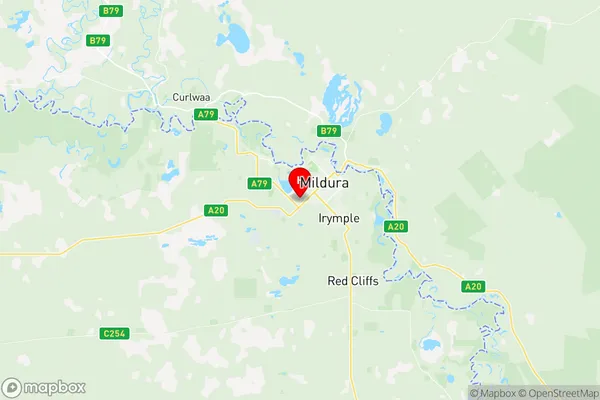
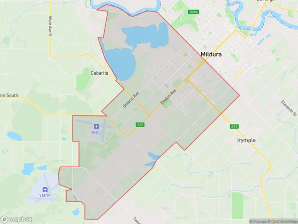
Mildura South Region Map

Mildura South Postcodes / Zip Codes
Mildura South Suburbs
Mildura South full address
Mildura South, Mildura, North West, Victoria, VIC, Australia, SaCode: 215021470Country
Mildura South, Mildura, North West, Victoria, VIC, Australia, SaCode: 215021470
Mildura South Suburbs & Region, Mildura South Map & Postcodes has 0 areas or regions above, and there are 5 Mildura South suburbs below. The sa2code for the Mildura South region is 215021470. Its latitude and longitude coordinates are -34.2151,142.117. Mildura South area belongs to Australia's greater capital city Rest of Vic..
Mildura South Suburbs & Localities
1. Mildura South
2. Mildura East
3. Mildura
4. Mildura Centre Plaza
5. Mildura
