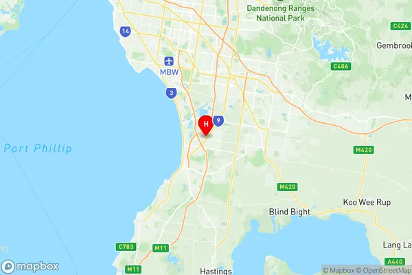
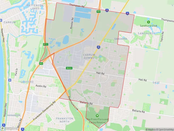
Carrum Downs Suburbs & Region, Carrum Downs Map & Postcodes
Carrum Downs Suburbs & Region, Carrum Downs Map & Postcodes in Carrum Downs, Frankston, Mornington Peninsula, VIC, AU
Carrum Downs Region
Region Name
Carrum Downs (VIC, AU)Carrum Downs Area
20.31 square kilometers (20.31 ㎢)Postal Codes
3201 (In total, there are 1 postcodes in Carrum Downs.)Carrum Downs Introduction
Carrum Downs is a suburb of Melbourne, Victoria, Australia, 17 km south-east of Melbourne's central business district. It is in the local government area of the City of Frankston. At the 2016 Census, Carrum Downs had a population of 11,417. Carrum Downs is named after the Carrum Downs pastoral station, which was established in 1861 by John Batman. The station was one of the largest in Victoria and was used for grazing and breeding cattle. The suburb was developed in the 1950s and 1960s as a residential area for people working in Melbourne. It is known for its large number of houses and apartments, as well as its many parks and recreational facilities. The suburb has a number of shopping centers, including the Carrum Downs Shopping Centre and the Frankston Central Shopping Centre. There are also a number of schools, including Carrum Downs Primary School and Frankston High School. The suburb is also home to a number of medical facilities, including the Frankston Hospital and the Monash Medical Centre. Carrum Downs is a popular suburb for families and young professionals, with a number of parks and recreational facilities. It is also well-connected to Melbourne, with easy access to the Monash Freeway and the Frankston railway line.Australia State
City or Big Region
Greater Capital City
Greater Melbourne (2GMEL)District or Regional Area
Suburb Name
Carrum Downs Region Map

Carrum Downs Postcodes / Zip Codes
Carrum Downs Suburbs
Carrum Downs full address
Carrum Downs, Frankston, Mornington Peninsula, Victoria, VIC, Australia, SaCode: 214011370Country
Carrum Downs, Frankston, Mornington Peninsula, Victoria, VIC, Australia, SaCode: 214011370
Carrum Downs Suburbs & Region, Carrum Downs Map & Postcodes has 0 areas or regions above, and there are 1 Carrum Downs suburbs below. The sa2code for the Carrum Downs region is 214011370. Its latitude and longitude coordinates are -38.0975,145.171. Carrum Downs area belongs to Australia's greater capital city Greater Melbourne.
Carrum Downs Suburbs & Localities
1. Carrum Downs
