Mickleham Yuroke Suburbs & Region, Mickleham Yuroke Map & Postcodes
Mickleham Yuroke Suburbs & Region, Mickleham Yuroke Map & Postcodes in Mickleham Yuroke, Tullamarine Broadmeadows, Melbourne North West, VIC, AU
Mickleham Yuroke Region
Region Name
Mickleham Yuroke (VIC, AU)Mickleham Yuroke Area
70.84 square kilometers (70.84 ㎢)Postal Codes
3063, and 3064 (In total, there are 2 postcodes in Mickleham Yuroke.)Mickleham Yuroke Introduction
Mickleham Yuroke is a locality in the local government area of the City of Whittlesea, Victoria, Australia. It is located 22 km north-west of Melbourne's central business district. Mickleham Yuroke has a post office and a railway station on the Craigieburn line. The area is primarily residential, with a mix of single-family homes and apartment buildings. There are several parks and recreational facilities in the area, including Mickleham Reserve and Mickleham Golf Club. The suburb is named after the Yuroke River, which flows through it.Australia State
City or Big Region
Greater Capital City
Greater Melbourne (2GMEL)District or Regional Area
Suburb Name
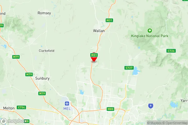
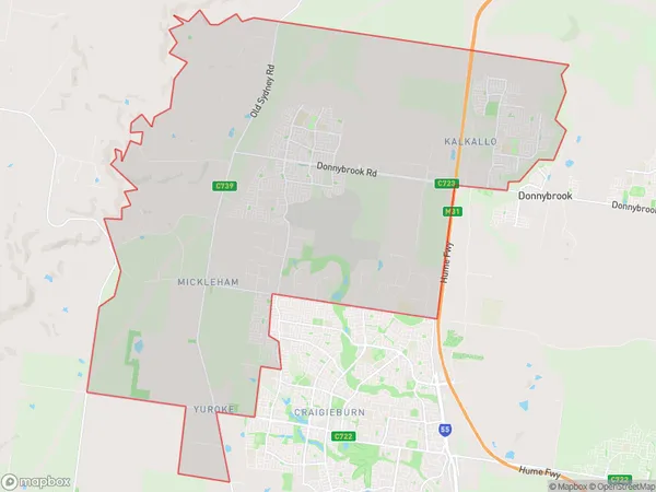
Mickleham Yuroke Region Map

Mickleham Yuroke Postcodes / Zip Codes
Mickleham Yuroke Suburbs
Mickleham Yuroke full address
Mickleham Yuroke, Tullamarine Broadmeadows, Melbourne North West, Victoria, VIC, Australia, SaCode: 210051445Country
Mickleham Yuroke, Tullamarine Broadmeadows, Melbourne North West, Victoria, VIC, Australia, SaCode: 210051445
Mickleham Yuroke Suburbs & Region, Mickleham Yuroke Map & Postcodes has 0 areas or regions above, and there are 3 Mickleham Yuroke suburbs below. The sa2code for the Mickleham Yuroke region is 210051445. Its latitude and longitude coordinates are -37.5246,144.956. Mickleham Yuroke area belongs to Australia's greater capital city Greater Melbourne.
Mickleham Yuroke Suburbs & Localities
1. Yuroke
2. Kalkallo
3. Mickleham
