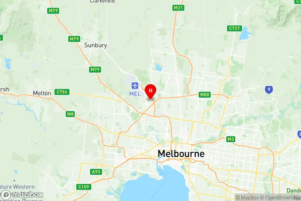
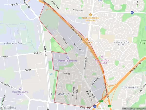
Tullamarine Suburbs & Region, Tullamarine Map & Postcodes
Tullamarine Suburbs & Region, Tullamarine Map & Postcodes in Tullamarine, Tullamarine Broadmeadows, Melbourne North West, VIC, AU
Tullamarine Region
Region Name
Tullamarine (VIC, AU)Tullamarine Area
3.86 square kilometers (3.86 ㎢)Postal Codes
3043 (In total, there are 1 postcodes in Tullamarine.)Tullamarine Introduction
Tullamarine is a suburb of Melbourne, Victoria, Australia, located 10 km north-west of the Melbourne central business district. It is the administrative center for the City of Melbourne and is part of the metropolitan area. Tullamarine was named after the Tullamarine River, which flows through the suburb. The suburb has a population of approximately 20,000 people and is home to several major airports, including Melbourne Airport and Tullamarine Airport. It is also a popular destination for tourists due to its proximity to the city center and its many attractions, including the Melbourne Convention and Exhibition Centre and the National Gallery of Victoria.Australia State
City or Big Region
Greater Capital City
Greater Melbourne (2GMEL)District or Regional Area
Suburb Name
Tullamarine Region Map

Tullamarine Postcodes / Zip Codes
Tullamarine Suburbs
Tullamarine full address
Tullamarine, Tullamarine Broadmeadows, Melbourne North West, Victoria, VIC, Australia, SaCode: 210051250Country
Tullamarine, Tullamarine Broadmeadows, Melbourne North West, Victoria, VIC, Australia, SaCode: 210051250
Tullamarine Suburbs & Region, Tullamarine Map & Postcodes has 0 areas or regions above, and there are 1 Tullamarine suburbs below. The sa2code for the Tullamarine region is 210051250. Its latitude and longitude coordinates are -37.6995,144.88. Tullamarine area belongs to Australia's greater capital city Greater Melbourne.
Tullamarine Suburbs & Localities
1. Tullamarine
