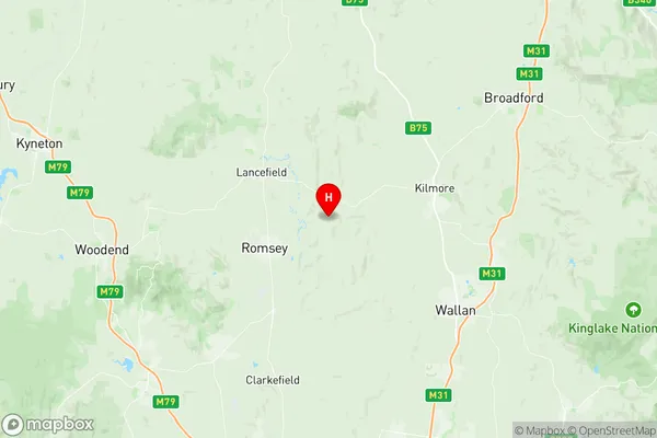
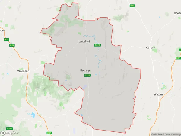
Romsey Suburbs & Region, Romsey Map & Postcodes
Romsey Suburbs & Region, Romsey Map & Postcodes in Romsey, Macedon Ranges, Melbourne North West, VIC, AU
Romsey Region
Region Name
Romsey (VIC, AU)Romsey Area
624.71 square kilometers (624.71 ㎢)Postal Codes
3358, 3430, from 3432 to 3435, 3442, 3756, 3764, and 8010 (In total, there are 10 postcodes in Romsey.)Australia State
City or Big Region
Greater Capital City
Greater Melbourne (2GMEL)District or Regional Area
Suburb Name
Romsey Region Map

Romsey Postcodes / Zip Codes
Romsey Suburbs
Romsey full address
Romsey, Macedon Ranges, Melbourne North West, Victoria, VIC, Australia, SaCode: 210021235Country
Romsey, Macedon Ranges, Melbourne North West, Victoria, VIC, Australia, SaCode: 210021235
Romsey Suburbs & Region, Romsey Map & Postcodes has 0 areas or regions above, and there are 17 Romsey suburbs below. The sa2code for the Romsey region is 210021235. Its latitude and longitude coordinates are -37.323,144.818. Romsey area belongs to Australia's greater capital city Greater Melbourne.
Romsey Suburbs & Localities
1. Winter Valley
2. Clarkefield
3. Kerrie
4. Springfield
5. Bolinda
6. Monegeetta
7. Romsey
8. Goldie
9. Lancefield
10. Hesket
11. Rochford
12. Benloch
13. Cobaw
14. Chintin
15. Darraweit Guim
16. Tantaraboo
17. Law Courts
