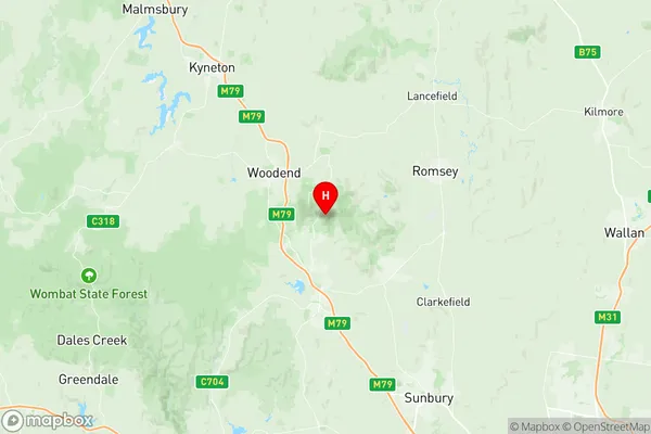
Macedon Suburbs & Region, Macedon Map & Postcodes
Macedon Suburbs & Region, Macedon Map & Postcodes in Macedon, Macedon Ranges, Melbourne North West, VIC, AU
Macedon Region
Region Name
Macedon (VIC, AU)Macedon Area
72.99 square kilometers (72.99 ㎢)Postal Codes
3440, and 3441 (In total, there are 2 postcodes in Macedon.)Macedon Introduction
Macedon is a locality in Melbourne's north-west, located 10 km from Melbourne's central business district. It is represented by the Macedon Ranges Shire Council and has a population of around 11,000 people. The area is known for its scenic beauty, with numerous parks and reserves, including the Macedon Ranges National Park. Macedon is also home to a number of wineries and restaurants, and is a popular destination for weekend getaways. The area has a rich history, with evidence of early settlement dating back to the 1830s. The Macedon railway station was opened in 1889 and was a major hub for the local timber industry. Today, Macedon is a thriving community with a strong sense of community spirit.Australia State
City or Big Region
Greater Capital City
Greater Melbourne (2GMEL)District or Regional Area
Suburb Name
Macedon Region Map

Macedon Postcodes / Zip Codes
Macedon Suburbs
Macedon full address
Macedon, Macedon Ranges, Melbourne North West, Victoria, VIC, Australia, SaCode: 210021233Country
Macedon, Macedon Ranges, Melbourne North West, Victoria, VIC, Australia, SaCode: 210021233
Macedon Suburbs & Region, Macedon Map & Postcodes has 0 areas or regions above, and there are 2 Macedon suburbs below. The sa2code for the Macedon region is 210021233. Its latitude and longitude coordinates are -37.3981,144.599. Macedon area belongs to Australia's greater capital city Greater Melbourne.
Macedon Suburbs & Localities
1. Mount Macedon
2. Macedon
