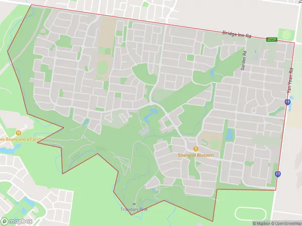
Doreen South Suburbs & Region, Doreen South Map & Postcodes
Doreen South Suburbs & Region, Doreen South Map & Postcodes in Doreen South, Whittlesea Wallan, Melbourne North East, VIC, AU
Doreen South Region
Region Name
Doreen South (VIC, AU)Doreen South Area
5.02 square kilometers (5.02 ㎢)Doreen South Introduction
Doreen South is a suburb located in the north-east of Melbourne, Victoria, Australia. It is in the City of Banyule local government area and is 10 kilometers north-east of Melbourne's central business district. Doreen South has a population of around 10,000 people and is known for its quiet and suburban atmosphere. The suburb has a variety of housing options, including single-family homes, apartments, and townhouses. There are several parks and recreational facilities in Doreen South, including Doreen Park, which has a playground, picnic areas, and walking trails. The suburb is also home to several shopping centers, including Doreen Plaza and Doreen Village, which provide a range of retail and dining options. Doreen South is well-connected to the rest of Melbourne, with easy access to the M1 Freeway and public transportation. It is also within walking distance of several schools, including Doreen Primary School and Doreen Secondary College.Australia State
City or Big Region
Greater Capital City
Greater Melbourne (2GMEL)District or Regional Area
Suburb Name
Doreen South Suburbs
Doreen South full address
Doreen South, Whittlesea Wallan, Melbourne North East, Victoria, VIC, Australia, SaCode: 209041528Country
Doreen South, Whittlesea Wallan, Melbourne North East, Victoria, VIC, Australia, SaCode: 209041528
Doreen South Suburbs & Region, Doreen South Map & Postcodes has 0 areas or regions above, and there are 0 Doreen South suburbs below. The sa2code for the Doreen South region is 209041528. Doreen South area belongs to Australia's greater capital city Greater Melbourne.
