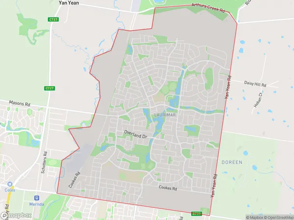
Doreen North Suburbs & Region, Doreen North Map & Postcodes
Doreen North Suburbs & Region, Doreen North Map & Postcodes in Doreen North, Whittlesea Wallan, Melbourne North East, VIC, AU
Doreen North Region
Region Name
Doreen North (VIC, AU)Doreen North Area
9.44 square kilometers (9.44 ㎢)Doreen North Introduction
Doreen North is a suburb located in the north-eastern region of Melbourne, Victoria, Australia. It is situated 10 kilometers north-east of Melbourne's central business district (CBD) and is part of the City of Moreland local government area. Doreen North is well-connected to the rest of Melbourne, with easy access to major roads and public transportation. The suburb has a variety of shopping centers, including Doreen Plaza and Doreen Station Shopping Centre, as well as several parks and recreational facilities. The population of Doreen North is approximately 11,000 people, with a diverse mix of cultures and backgrounds. The suburb has a high proportion of families and young professionals, and is known for its peaceful and quiet atmosphere.Australia State
City or Big Region
Greater Capital City
Greater Melbourne (2GMEL)District or Regional Area
Suburb Name
Doreen North Suburbs
Doreen North full address
Doreen North, Whittlesea Wallan, Melbourne North East, Victoria, VIC, Australia, SaCode: 209041527Country
Doreen North, Whittlesea Wallan, Melbourne North East, Victoria, VIC, Australia, SaCode: 209041527
Doreen North Suburbs & Region, Doreen North Map & Postcodes has 0 areas or regions above, and there are 0 Doreen North suburbs below. The sa2code for the Doreen North region is 209041527. Doreen North area belongs to Australia's greater capital city Greater Melbourne.
