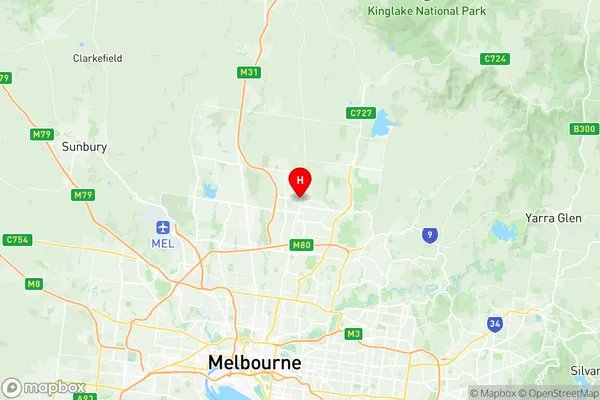
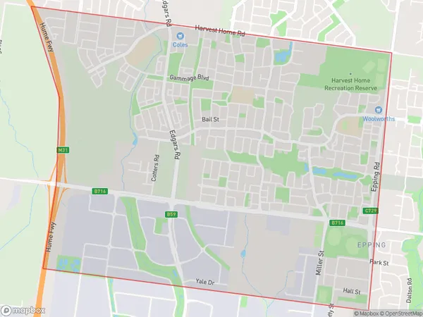
Epping West Suburbs & Region, Epping West Map & Postcodes
Epping West Suburbs & Region, Epping West Map & Postcodes in Epping West, Whittlesea Wallan, Melbourne North East, VIC, AU
Epping West Region
Region Name
Epping West (VIC, AU)Epping West Area
7.36 square kilometers (7.36 ㎢)Postal Codes
3076 (In total, there are 1 postcodes in Epping West.)Epping West Introduction
Epping West is a suburb in Melbourne's north-east, 10 kilometers from the city center. It is in the state of Victoria and belongs to the local government area of the City of Whittlesea. Epping West has a variety of shops, cafes, and parks, and is home to a large number of families and young professionals. The suburb has a rich history, with many of its buildings dating back to the 19th century. It is also home to a number of significant cultural institutions, including the Epping West Primary School and the Epping West Community Centre.Australia State
City or Big Region
Greater Capital City
Greater Melbourne (2GMEL)District or Regional Area
Suburb Name
Epping West Region Map

Epping West Postcodes / Zip Codes
Epping West Suburbs
Epping West full address
Epping West, Whittlesea Wallan, Melbourne North East, Victoria, VIC, Australia, SaCode: 209041433Country
Epping West, Whittlesea Wallan, Melbourne North East, Victoria, VIC, Australia, SaCode: 209041433
Epping West Suburbs & Region, Epping West Map & Postcodes has 0 areas or regions above, and there are 2 Epping West suburbs below. The sa2code for the Epping West region is 209041433. Its latitude and longitude coordinates are -37.6377,145.026. Epping West area belongs to Australia's greater capital city Greater Melbourne.
Epping West Suburbs & Localities
1. Epping Dc
2. Epping
