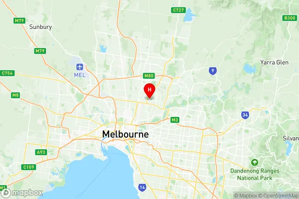
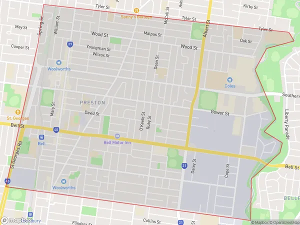
Preston East Suburbs & Region, Preston East Map & Postcodes
Preston East Suburbs & Region, Preston East Map & Postcodes in Preston East, Darebin North, Melbourne North East, VIC, AU
Preston East Region
Region Name
Preston East (VIC, AU)Preston East Area
7.75 square kilometers (7.75 ㎢)Postal Codes
3072 (In total, there are 1 postcodes in Preston East.)Preston East Introduction
Preston East is a suburb in Melbourne, Victoria, Australia. It is located in the City of Moreland local government area. Preston East is bordered by Plenty Road to the north, Bell Street to the east, High Street to the south, and the Eastern Freeway to the west. The suburb has a mix of residential and commercial properties, with several shopping centers, parks, and schools. Preston East is well-connected to other parts of Melbourne, with easy access to public transportation and the city's central business district.Australia State
City or Big Region
Greater Capital City
Greater Melbourne (2GMEL)District or Regional Area
Suburb Name
Preston East Region Map

Preston East Postcodes / Zip Codes
Preston East Suburbs
Preston East full address
Preston East, Darebin North, Melbourne North East, Victoria, VIC, Australia, SaCode: 209021428Country
Preston East, Darebin North, Melbourne North East, Victoria, VIC, Australia, SaCode: 209021428
Preston East Suburbs & Region, Preston East Map & Postcodes has 0 areas or regions above, and there are 4 Preston East suburbs below. The sa2code for the Preston East region is 209021428. Its latitude and longitude coordinates are -37.7385,145.03. Preston East area belongs to Australia's greater capital city Greater Melbourne.
Preston East Suburbs & Localities
1. Preston
2. Sylvester
3. Preston South
4. Northland Centre
