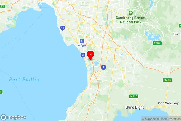
Chelsea Heights Suburbs & Region, Chelsea Heights Map & Postcodes
Chelsea Heights Suburbs & Region, Chelsea Heights Map & Postcodes in Chelsea Heights, Kingston, Melbourne Inner South, VIC, AU
Chelsea Heights Region
Region Name
Chelsea Heights (VIC, AU)Chelsea Heights Area
3.2 square kilometers (3.2 ㎢)Postal Codes
3196 (In total, there are 1 postcodes in Chelsea Heights.)Chelsea Heights Introduction
Chelsea Heights is a suburb in Melbourne, Australia, 6 km south-east of Melbourne's central business district. Its local government area is the City of Port Phillip. At the 2016 Census, Chelsea Heights had a population of 11,299. The suburb is named after the Chelsea Flower Show, held in London in 1913. The show was a major event in the horticultural world and attracted many visitors to London, including the then Governor of Victoria, Sir Henry Parkes. The name "Chelsea Heights" was chosen to reflect the suburb's proximity to the show and to the many gardens and parks that were developed in the area during the early 20th century. Chelsea Heights is a well-established suburb with a mix of residential and commercial properties. The suburb has a number of parks and recreational facilities, including the Chelsea Heights Reserve, which features a playground, cricket pitch, and basketball court. There are also a number of shopping centers and restaurants in the area, including the Chelsea Village Shopping Centre and the Chelsea Heights Hotel. The suburb is well-connected to the rest of Melbourne, with easy access to the Monash Freeway and the EastLink freeway. It is also within walking distance of the Southland Shopping Centre and the Dandenong Creek Trail.Australia State
City or Big Region
Greater Capital City
Greater Melbourne (2GMEL)District or Regional Area
Suburb Name
Chelsea Heights Region Map

Chelsea Heights Postcodes / Zip Codes
Chelsea Heights Suburbs
Chelsea Heights full address
Chelsea Heights, Kingston, Melbourne Inner South, Victoria, VIC, Australia, SaCode: 208031187Country
Chelsea Heights, Kingston, Melbourne Inner South, Victoria, VIC, Australia, SaCode: 208031187
Chelsea Heights Suburbs & Region, Chelsea Heights Map & Postcodes has 0 areas or regions above, and there are 1 Chelsea Heights suburbs below. The sa2code for the Chelsea Heights region is 208031187. Its latitude and longitude coordinates are -38.047,145.137. Chelsea Heights area belongs to Australia's greater capital city Greater Melbourne.
Chelsea Heights Suburbs & Localities
1. Chelsea Heights
