Hughesdale Suburbs & Region, Hughesdale Map & Postcodes
Hughesdale Suburbs & Region, Hughesdale Map & Postcodes in Hughesdale, Monash, Melbourne South East, VIC, AU
Hughesdale Region
Region Name
Hughesdale (VIC, AU)Hughesdale Area
2.01 square kilometers (2.01 ㎢)Postal Codes
3166 (In total, there are 1 postcodes in Hughesdale.)Hughesdale Introduction
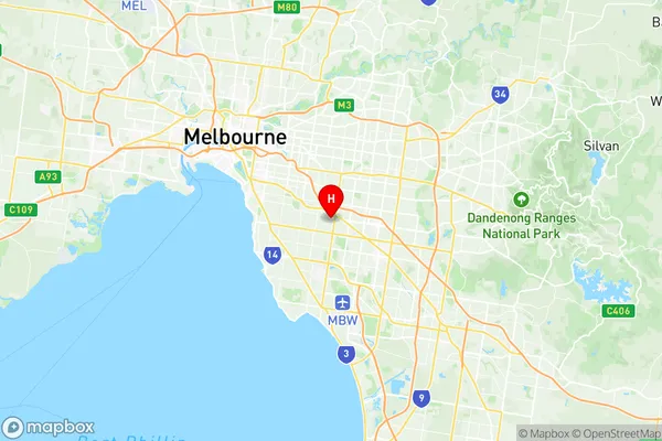
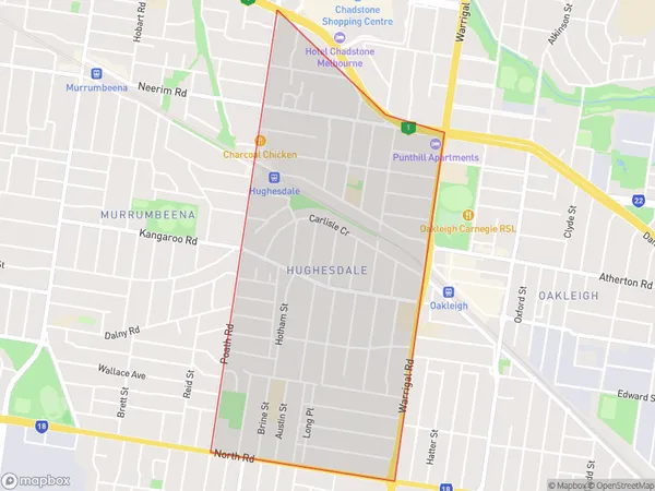
Hughesdale is a suburb in Melbourne's south-east, located 10 kilometers south-east of the Melbourne CBD. It is bordered by Dandenong Creek, Springvale Road, and the Monash Freeway. The suburb has a variety of shops, restaurants, and parks, including Hughesdale Park and the Monash Aquatic Centre. It is also home to Monash University and the Monash Medical Centre. Hughesdale is a popular suburb for families and young professionals due to its convenient location and affordable housing.Australia State
City or Big Region
Greater Capital City
Greater Melbourne (2GMEL)District or Regional Area
Suburb Name
Hughesdale Region Map

Hughesdale Postcodes / Zip Codes
Hughesdale Suburbs
Hughesdale full address
Hughesdale, Monash, Melbourne South East, Victoria, VIC, Australia, SaCode: 208021180Country
Hughesdale, Monash, Melbourne South East, Victoria, VIC, Australia, SaCode: 208021180
Hughesdale Suburbs & Region, Hughesdale Map & Postcodes has 0 areas or regions above, and there are 1 Hughesdale suburbs below. The sa2code for the Hughesdale region is 208021180. Its latitude and longitude coordinates are -37.8966,145.083. Hughesdale area belongs to Australia's greater capital city Greater Melbourne.
Hughesdale Suburbs & Localities
1. Hughesdale
