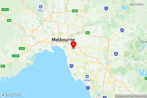
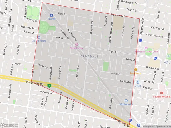
Armadale Suburbs & Region, Armadale Map & Postcodes
Armadale Suburbs & Region, Armadale Map & Postcodes in Armadale, Stonnington West, Melbourne Inner, VIC, AU
Armadale Region
Region Name
Armadale (VIC, AU)Armadale Area
2.18 square kilometers (2.18 ㎢)Armadale Introduction
Armadale is a suburb in Melbourne, Victoria, Australia, 8 km east of Melbourne's central business district. It is represented by the City of Bayside. At the 2016 Census, Armadale had a population of 12,930. Armadale is named after the Scottish town of Armadale, which is in the West Highland region. The suburb was originally part of the "Hundred of Toorak", which was named in 1851 and later became part of the "County of Bourke" in 1855. The name "Armadale" was first used in 1887 when the Post Office opened. The suburb has a rich history and is home to many historic buildings, including the Armadale Post Office, the Armadale Hotel, and the Armadale Baptist Church. The Armadale Shopping Centre is a major shopping destination in the area, and there are also several parks and recreational facilities, including the Armadale Reserve and the Armadale Aquatic Centre. Armadale is well-connected to the rest of Melbourne, with easy access to the Monash Freeway and the EastLink freeway. It is also served by several bus routes, including the 591 and 601 trams, which run along High Street and St Kilda Road, respectively.Australia State
City or Big Region
Greater Capital City
Greater Melbourne (2GMEL)District or Regional Area
Suburb Name
Armadale Region Map

Armadale Suburbs
Armadale full address
Armadale, Stonnington West, Melbourne Inner, Victoria, VIC, Australia, SaCode: 206061135Country
Armadale, Stonnington West, Melbourne Inner, Victoria, VIC, Australia, SaCode: 206061135
Armadale Suburbs & Region, Armadale Map & Postcodes has 0 areas or regions above, and there are 0 Armadale suburbs below. The sa2code for the Armadale region is 206061135. Its latitude and longitude coordinates are -37.8555,145.021. Armadale area belongs to Australia's greater capital city Greater Melbourne.
