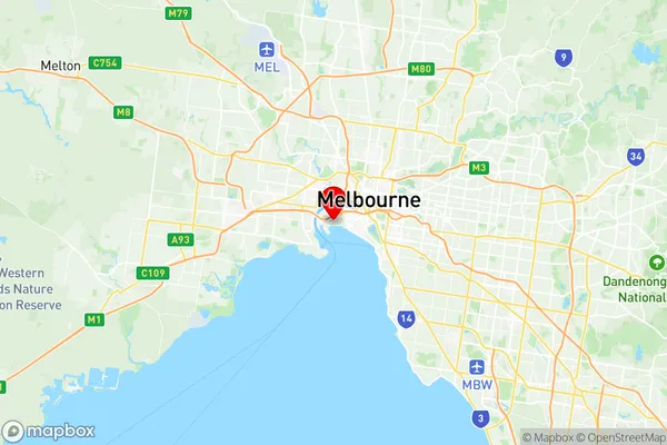
Port Melbourne Suburbs & Region, Port Melbourne Map & Postcodes
Port Melbourne Suburbs & Region, Port Melbourne Map & Postcodes in Port Melbourne, Hobsons Bay, Melbourne West, VIC, AU
Port Melbourne Region
Region Name
Port Melbourne (VIC, AU)Port Melbourne Area
2.79 square kilometers (2.79 ㎢)Postal Codes
3207 (In total, there are 1 postcodes in Port Melbourne.)Port Melbourne Introduction
Port Melbourne is a suburb of Melbourne, Victoria, Australia. It is located 4 km south-west of Melbourne's central business district (CBD). The suburb is bounded by the Yarra River to the north, the West Gate Freeway to the east, and the Melbourne Port to the south. Port Melbourne is known for its vibrant arts and culture scene, with many galleries, museums, and theatres located in the area. It is also home to a large number of shipping and logistics companies, as well as the Port of Melbourne. The suburb has a diverse population, with many immigrants from different countries and cultures. It is a popular place to live and work, with many apartments and houses available for rent or purchase.Australia State
City or Big Region
Greater Capital City
Greater Melbourne (2GMEL)District or Regional Area
Suburb Name
Port Melbourne Region Map

Port Melbourne Postcodes / Zip Codes
Port Melbourne Suburbs
Port Melbourne full address
Port Melbourne, Hobsons Bay, Melbourne West, Victoria, VIC, Australia, SaCode: 206051130Country
Port Melbourne, Hobsons Bay, Melbourne West, Victoria, VIC, Australia, SaCode: 206051130
Port Melbourne Suburbs & Region, Port Melbourne Map & Postcodes has 0 areas or regions above, and there are 1 Port Melbourne suburbs below. The sa2code for the Port Melbourne region is 206051130. Its latitude and longitude coordinates are -37.8366,144.92. Port Melbourne area belongs to Australia's greater capital city Greater Melbourne.
Port Melbourne Suburbs & Localities
1. Garden City
