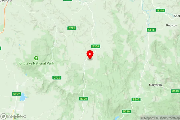
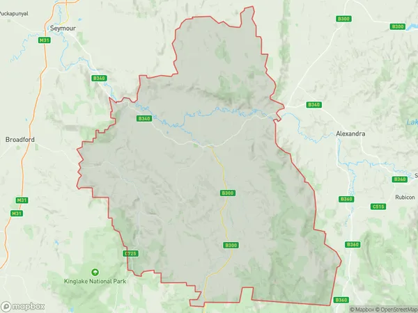
Yea Suburbs & Region, Yea Map & Postcodes
Yea Suburbs & Region, Yea Map & Postcodes in Yea, Upper Goulburn Valley, Hume, VIC, AU
Yea Region
Region Name
Yea (VIC, AU)Yea Area
1474 square kilometers (1,474 ㎢)Postal Codes
3658, 3660, 3717, and 3718 (In total, there are 4 postcodes in Yea.)Yea Introduction
Yea, Hume, Victoria, AU, is a small rural town located in the Hume region of Victoria, Australia. It is situated in the Shire of Buloke, approximately 165 kilometers north-east of Melbourne and 12 kilometers south-west of Wangaratta. The town has a population of around 3,000 people and is known for its agricultural industry, particularly its production of wheat and sheep. The town also has a historic railway station and a number of historic buildings and monuments. The Yea River flows through the town, providing water for irrigation and recreation. The town is surrounded by picturesque countryside and is a popular destination for outdoor activities such as hiking, fishing, and camping.Australia State
City or Big Region
Greater Capital City
Rest of Vic. (2RVIC)District or Regional Area
Suburb Name
Yea Region Map

Yea Postcodes / Zip Codes
Yea Suburbs
Yea full address
Yea, Upper Goulburn Valley, Hume, Victoria, VIC, Australia, SaCode: 204011062Country
Yea, Upper Goulburn Valley, Hume, Victoria, VIC, Australia, SaCode: 204011062
Yea Suburbs & Region, Yea Map & Postcodes has 0 areas or regions above, and there are 16 Yea suburbs below. The sa2code for the Yea region is 204011062. Its latitude and longitude coordinates are -37.4199,145.446. Yea area belongs to Australia's greater capital city Rest of Vic..
Yea Suburbs & Localities
1. Kerrisdale
2. Flowerdale
3. Strath Creek
4. Dropmore
5. Homewood
6. Limestone
7. Yea
8. Hazeldene
9. Ghin Ghin
10. Glenburn
11. Molesworth
12. Caveat
13. Highlands
14. Flowerdale
15. Killingworth
16. Murrindindi
