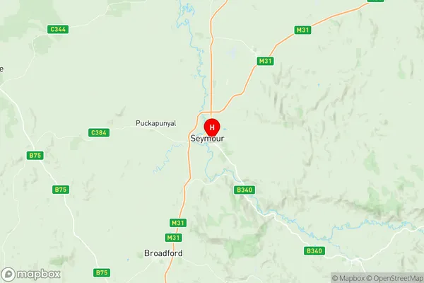
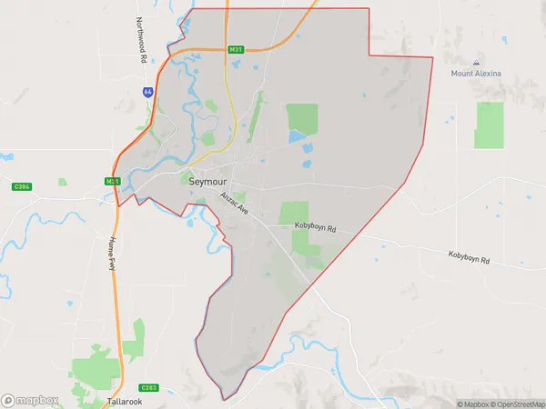
Seymour Suburbs & Region, Seymour Map & Postcodes
Seymour Suburbs & Region, Seymour Map & Postcodes in Seymour, Upper Goulburn Valley, Hume, VIC, AU
Seymour Region
Region Name
Seymour (VIC, AU)Seymour Area
79.31 square kilometers (79.31 ㎢)Postal Codes
3660, and 3661 (In total, there are 2 postcodes in Seymour.)Seymour Introduction
Seymour is a town in the Hume region of Victoria, Australia. It is located 156 kilometers north-east of Melbourne and 11 kilometers south-east of Benalla. The town is named after Sir John Seymour, who was the Governor of New South Wales from 1821 to 1827. Seymour has a population of around 3,000 people and is known for its historic buildings, including the Seymour Railway Station and the Seymour Hotel. The town is also home to a number of wineries and vineyards, which produce a variety of wines and cheeses. The surrounding area is popular for fishing, camping, and hiking, with the Murray River and the Mount Bogong Range both nearby.Australia State
City or Big Region
Greater Capital City
Rest of Vic. (2RVIC)District or Regional Area
Suburb Name
Seymour Region Map

Seymour Postcodes / Zip Codes
Seymour Suburbs
Seymour full address
Seymour, Upper Goulburn Valley, Hume, Victoria, VIC, Australia, SaCode: 204011059Country
Seymour, Upper Goulburn Valley, Hume, Victoria, VIC, Australia, SaCode: 204011059
Seymour Suburbs & Region, Seymour Map & Postcodes has 0 areas or regions above, and there are 3 Seymour suburbs below. The sa2code for the Seymour region is 204011059. Its latitude and longitude coordinates are -37.0292,145.145. Seymour area belongs to Australia's greater capital city Rest of Vic..
Seymour Suburbs & Localities
1. Seymour South
2. Seymour
3. Seymour
