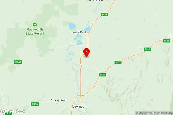
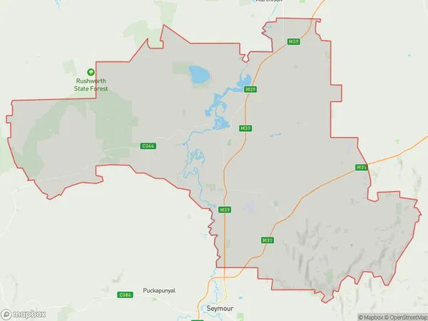
Nagambie Suburbs & Region, Nagambie Map & Postcodes
Nagambie Suburbs & Region, Nagambie Map & Postcodes in Nagambie, Shepparton, VIC, AU
Nagambie Region
Region Name
Nagambie (VIC, AU)Nagambie Area
1294 square kilometers (1,294 ㎢)Postal Codes
3523, 3607, 3608, 3612, and from 3663 to 3665 (In total, there are 7 postcodes in Nagambie.)Nagambie Introduction
Nagambie is a small township in the Goulburn Valley region of Victoria, Australia. It is located approximately 125 kilometers north-east of Melbourne and 10 kilometers south-west of Shepparton. The township is surrounded by farmland and has a population of around 2,000 people. Nagambie has a primary school, a post office, a general store, and a community hall. The town is also home to a number of wineries and a golf course. The Nagambie railway station was opened in 1889 and closed in 1996. The town is named after the Nagambie Creek, which flows through the township. The creek was named by the indigenous people of the area, who called it "Ngam-bi-ie," meaning "watering place."Australia State
City or Big Region
Greater Capital City
Rest of Vic. (2RVIC)District or Regional Area
Suburb Name
Nagambie Region Map

Nagambie Postcodes / Zip Codes
Nagambie Suburbs
Nagambie full address
Nagambie, Shepparton, Victoria, VIC, Australia, SaCode: 204011058Country
Nagambie, Shepparton, Victoria, VIC, Australia, SaCode: 204011058
Nagambie Suburbs & Region, Nagambie Map & Postcodes has 0 areas or regions above, and there are 15 Nagambie suburbs below. The sa2code for the Nagambie region is 204011058. Its latitude and longitude coordinates are -36.8378,145.171. Nagambie area belongs to Australia's greater capital city Rest of Vic..
Nagambie Suburbs & Localities
1. Goulburn Weir
2. Kirwans Bridge
3. Nagambie
4. Whroo
5. Wirrate
6. Locksley
7. Mangalore
8. Moormbool West
9. Tabilk
10. Bailieston
11. Graytown
12. Mitchellstown
13. Wahring
14. Avenel
15. Upton Hill
