Ballarat East Warrenheip Suburbs & Region, Ballarat East Warrenheip Map & Postcodes
Ballarat East Warrenheip Suburbs & Region, Ballarat East Warrenheip Map & Postcodes in Ballarat East Warrenheip, Ballarat, VIC, AU
Ballarat East Warrenheip Region
Region Name
Ballarat East Warrenheip (VIC, AU)Ballarat East Warrenheip Area
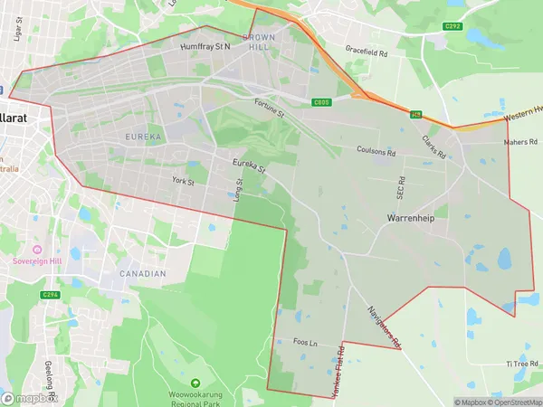
19.22 square kilometers (19.22 ㎢)Ballarat East Warrenheip Suburb Area Map (Polygon)
Ballarat East Warrenheip Introduction
Ballarat East Warrenheip is a suburb of Ballarat, Victoria, Australia. It is located 4 km east of Ballarat's central business district. The post office opened as Warrenheip on 1 November 1858 and was closed on 1 March 1971. The suburb was named after Warrenheip, a town in the English county of Worcestershire. The present post office opened as Ballarat East on 1 October 1975 and was closed on 29 May 1984.Australia State
City or Big Region
Greater Capital City
Rest of Vic. (2RVIC)District or Regional Area
Suburb Name
Ballarat East Warrenheip Suburbs
Ballarat East Warrenheip full address
Ballarat East Warrenheip, Ballarat, Victoria, VIC, Australia, SaCode: 201011481Country
Ballarat East Warrenheip, Ballarat, Victoria, VIC, Australia, SaCode: 201011481
Ballarat East Warrenheip Suburbs & Region, Ballarat East Warrenheip Map & Postcodes has 0 areas or regions above, and there are 0 Ballarat East Warrenheip suburbs below. The sa2code for the Ballarat East Warrenheip region is 201011481. Ballarat East Warrenheip area belongs to Australia's greater capital city Rest of Vic..